

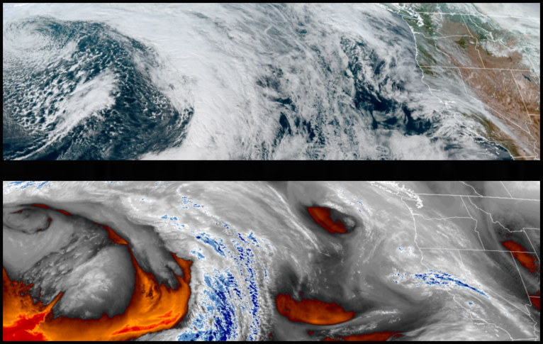
Low pressure circulating up from the south has weakened the trough of high pressure responsible for the cold air and clear skies the region experienced the past couple of weeks allowing the approach of a low pressure system that is likely to push onshore bringing precipitation to the area as early as Tuesday, continuing through midweek.
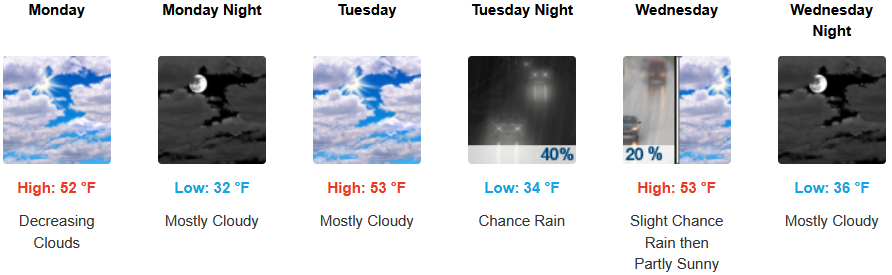
Inland areas are expected to continue to see mostly sunny skies and cool temperatures to start the work week with chances of precipitation into midweek. Afternoon highs expected to be in the upper 40’s to low 50’s, with lows forecast to be in the mid to upper 30’s.
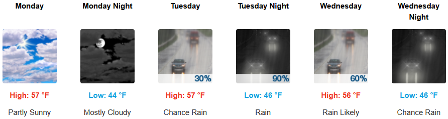
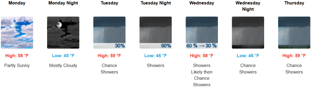
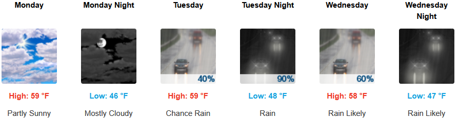
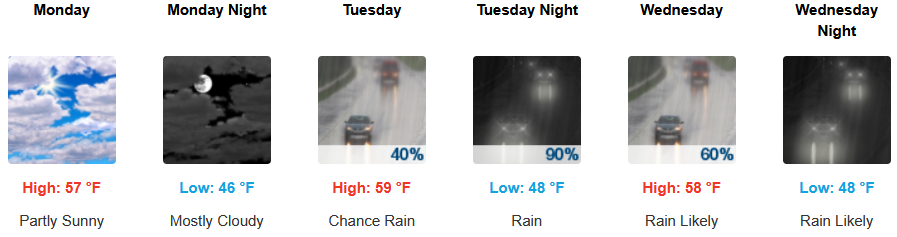
Along the coast, Mostly sunny skies and the ridge of high pressure off the coast are expected to give way to an approaching low pressure system bringing rain as early as Tuesday, continuing through midweek Temperatures are forecast to be in the mid to upper 50’s for highs, with morning lows in the low to mid 40’s.

Brookings:
Crescent City:
Gold Beach:
Port Orford:
Cave Junction:
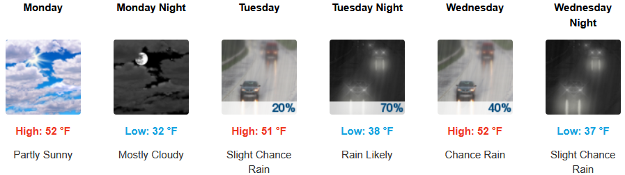
Grants Pass:
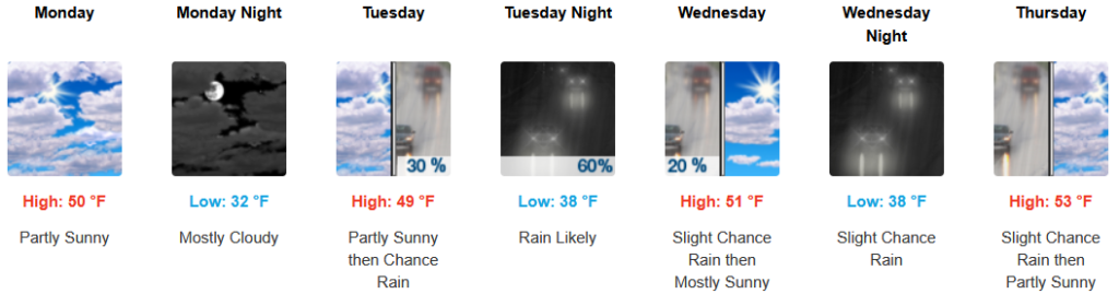
Medford: