

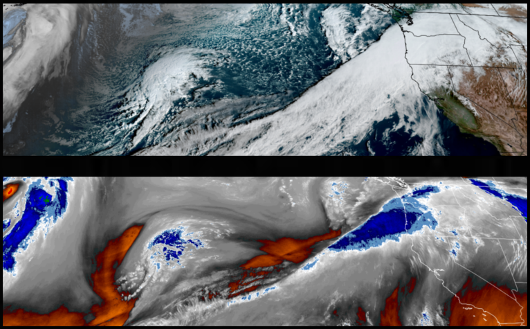
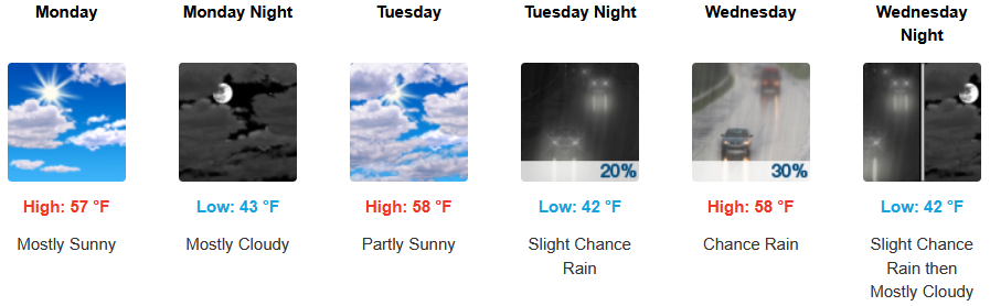
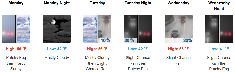
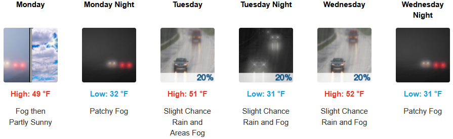
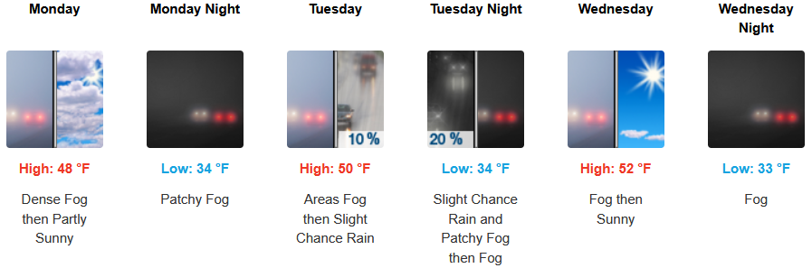
The precipitation over the past weekend is forecast to circulate to the east late Sunday, bringing cold partly cloudy skies behind it before another weaker system pushes onshore bringing chances of rain Tuesday through midweek.
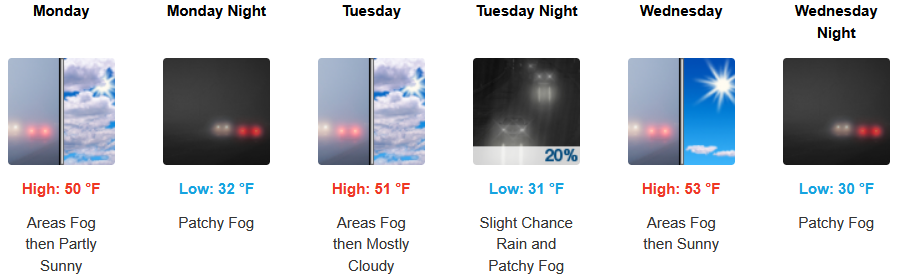
Localized morning fog clearing to cold partly cloudy afternoon skies is expected to continue for inland areas before chances of more rain late Tuesday into midweek. Afternoon highs are expected to be in the low to mid 50’s, with lows forecast to be in the mid to upper 30’s to low 40’s.
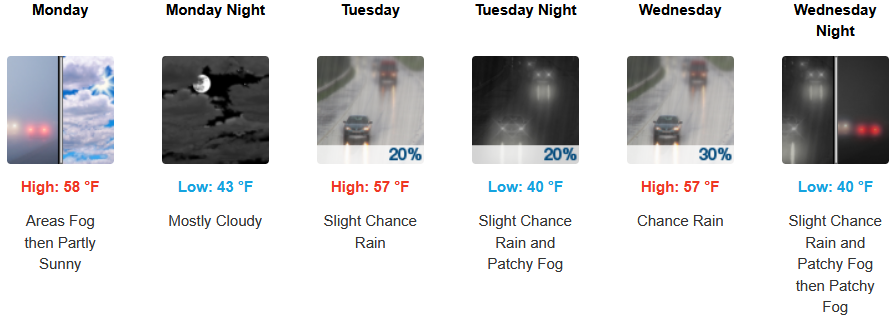
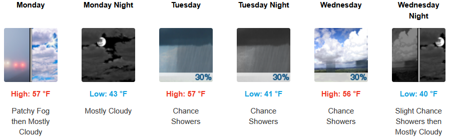
Along the coast, areas of fog are expected to clear to partly cloudy skies before chances of rain push onshore Tuesday morning continuing slight chances of rain through midweek. Temperatures are forecast to be in the upper 50’s to low 60’s for afternoon highs, with morning lows in the low to mid 40’s.

Brookings:
Crescent City:
Gold Beach:
Port Orford:
Cave Junction:
Grants Pass:
Medford: