

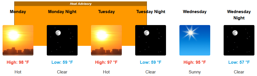
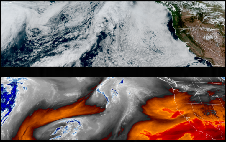
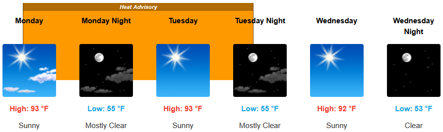
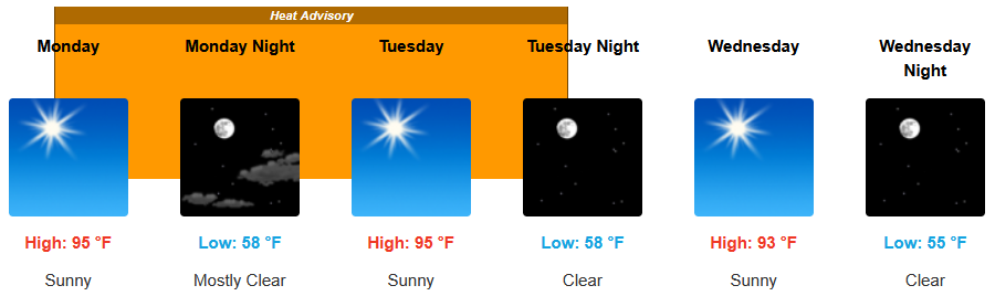
High pressure has once again reestablished itself off the coast, and temperatures will again begin to warm, prompting another round of Heat Advisories from the National Weather Service for inland areas, as temperatures warm to 15-20 degrees above normal on Monday and Tuesday under clear skies to start the workweek.
Clear and sunny skies can expect for inland areas will continue with and above average temperatures and a Heat Advisory with most areas staying below triple digits. Afternoon highs are expected to continue to be warm with little relief from a north west breeze starting the workweek with temperatures the upper 90’s for highs, with in the mid to upper 50’s.
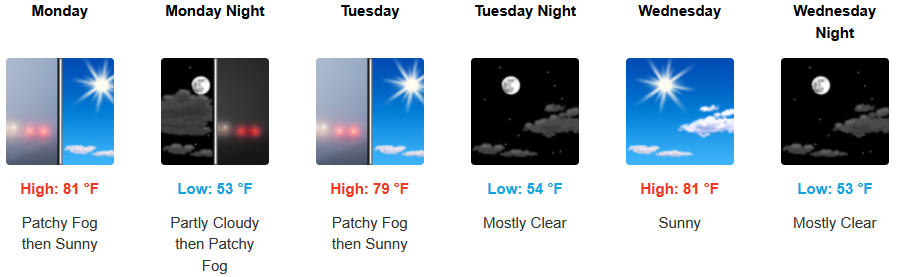
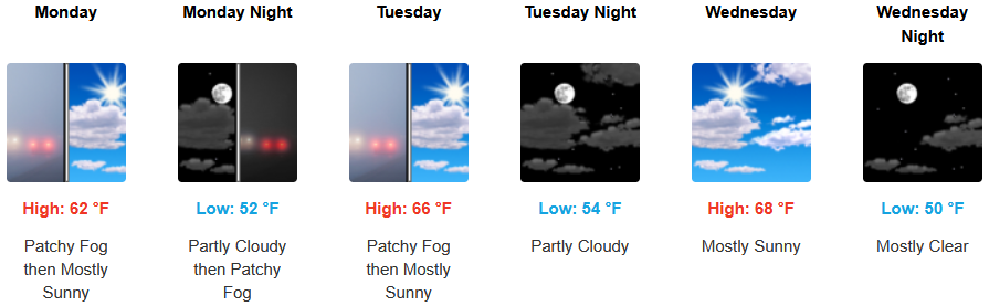
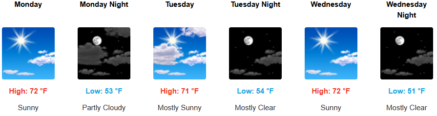
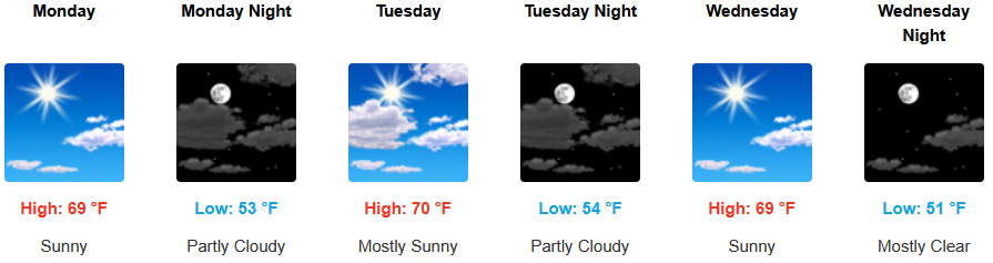
Along the coast, a weak onshore onshore flow will continue to make an early morning marine layer possible along the immediate northern California southern Oregon coastline, clearing to mostly clear, warm afternoon skies. Temperatures are expected to reach the low to mid 80’s in some areas with morning lows in the mid 50’s.

Brookings:
Crescent City:
Gold Beach:
Port Orford:
Cave Junction:
Grants Pass:
Medford: