

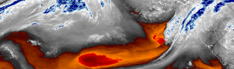
A cold low pressure weather system will be moving on shore beginning along the coast early Tuesday morning and continuing through much of the work week.
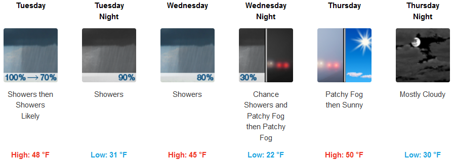
Interior areas should expect showers, with thunderstorms also possible after 2:00pm with snow levels ranging between 3100 and 3800 feet in the afternoon, possibly dropping to 2800 feet late Tuesday evening into very early Wednesday morning. Well-below normal temperatures with highs trending 5 to 15 degrees below average are expected to be in the upper 30’s, dropping to the high 20’s going into Wednesday, with highs only getting into the mid to upper 40’s through out the week.
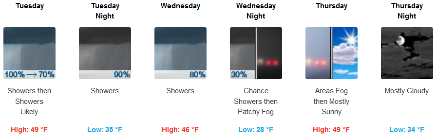
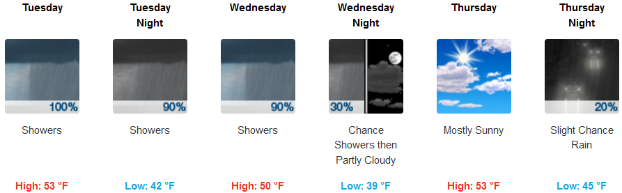
Precipitation is expected to begin along coastal areas very early Tuesday morning, with precipitation being heaviest into Tuesday morning continuing through out the work week with localized showers. Thunderstorms are possible as the cold air pushes east Tuesday morning before noon. Low temperatures should be in the low 40’s with the coldest lows in the mid 30’s Wednesday into Thursday morning. High temperatures are expected to remain in the mid to upper 40’s.
Brookings:
Crescent City:
Gold Beach:
Cave Junction:
Grants Pass:

Medford: