

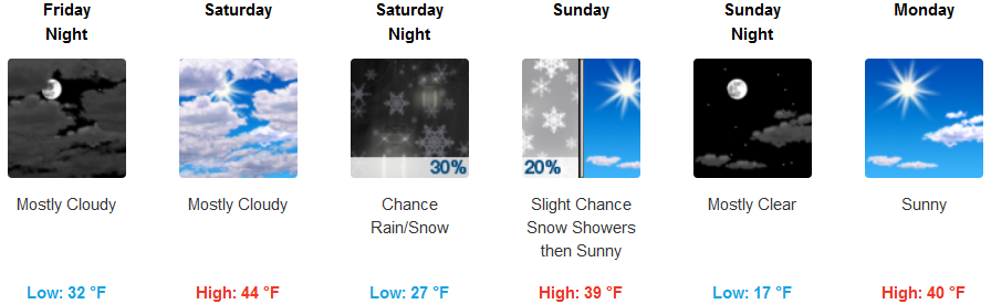
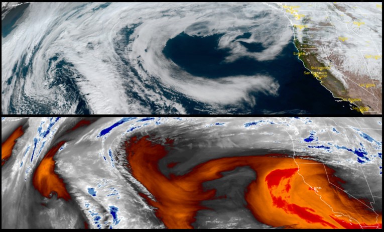
A cold weather system is forecast to move onshore Saturday with the possibly of showers to the region this weekend, but more importantly, very cold low temperatures as the weekend progresses. Low temperatures are expected to lower snow levels to near or below 1000 ft. Saturday night into Sunday morning, however, only small accumulations are expected. Some areas could see lows get into the low 20’s or lower with some coastal areas possibly falling to the 30’s.
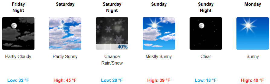
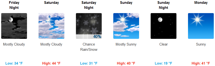
Inland areas are expected to experience areas of fog before 10:00am before becoming partly sunny Friday afternoon. Clouds are expected Saturday bringing a chance of rain and snow showers with snow levels falling to 2100 ft. before lowering to 1400 feet after midnight with possible snow accumulations of less than a half inch possible. High temperatures are only expected to reach the low 40’s through the weekend, with low temperatures dropping from the low 30’s to the teens by weekend.
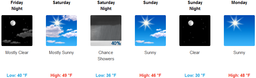
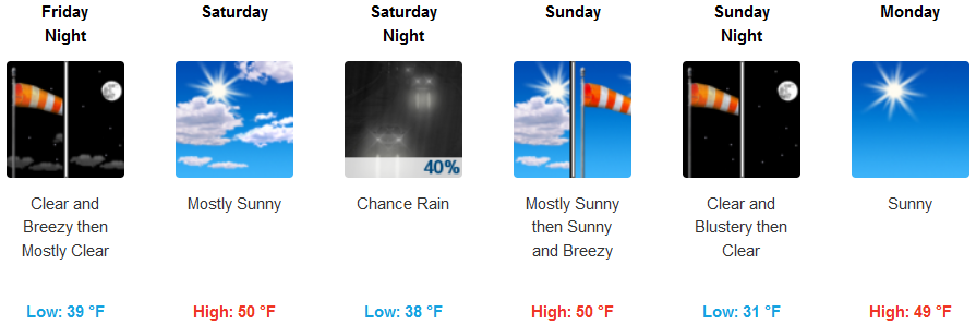
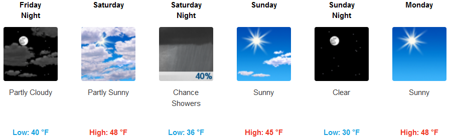
Along the coast, the unusually warm days are expected to end as a front with very cold air move onshore over the weekend, accompanied by a very good chance of a small amount of precipitation Saturday night. Skies are expected to clear Sunday under very cold air keeping afternoon highs in the upper 40’s and lows falling into the low 30’s.
Brookings:
Crescent City:
Gold Beach:
Cave Junction:
Grants Pass:
Medford: