

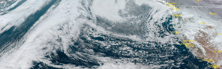
The upper level trough that pushed the cold weather system through the area earlier in the week is forecast to slowly track to southeast late Monday and into Tuesday, starting Tuesday morning with mostly clear skies with some fog and cold early morning temperatures. Changes are expected to begin in the area starting very late Wednesday evening as another round of cold wet weather moves in.
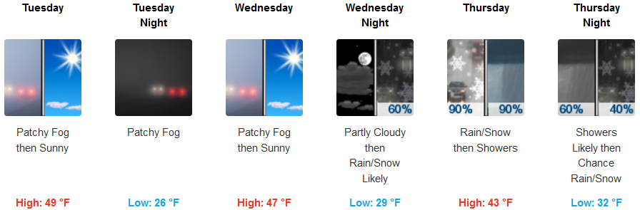
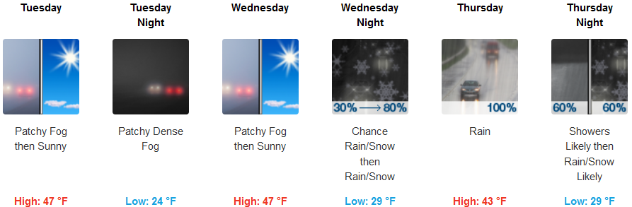
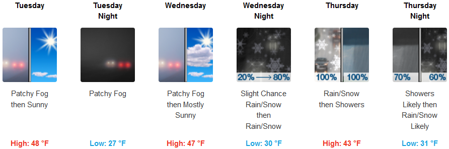
Inland areas can expect mostly clear skies and very cold early morning temperatures, with localized patchy dense fog in some areas. Rain and possible snow showers are expected to start in the higher elevations late Wednesday evening continuing through Thursday. Early morning temperatures are forecast to be very cold with lows in the mid to upper 20’s, with highs in the low to mid 40’s.
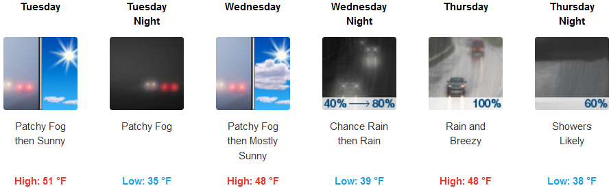
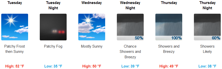
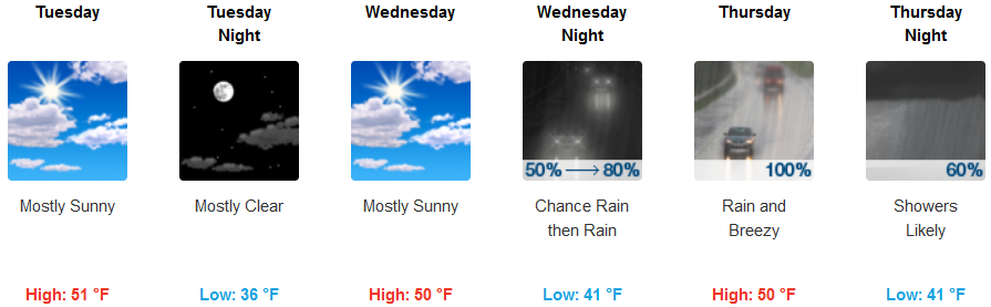
Patchy localized dense fog is expected along the coast in the morning under mostly sunny skies to start the work week, however, another round of cold air and precipitation is expected Wednesday evening continuing into the weekend. High temperatures could reach the low 50’s with morning lows in the mid 30’s.
Brookings:
Crescent City:
Gold Beach:
Cave Junction:
Grants Pass:
Medford: