

The cold weather system that moved through the area earlier in the week, has now moved to the east and another slow moving low pressure system will is forecast to follow bringing another mass of very cold air that will slowly circulate precipitation into the area as the work week comes to an end.
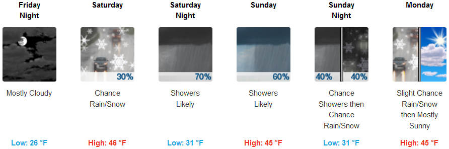
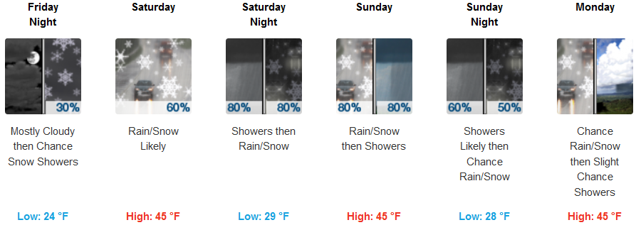
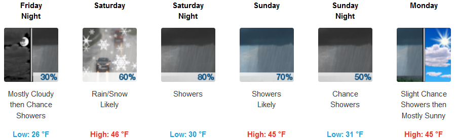
Inland areas can expect mostly cloudy skies and very cold early morning temperatures Friday morning, with a chance of rain and snow showers after noon Saturday. Early morning temperatures are forecast to be very cold with lows in the low to mid 20’s, a mixture of snow and rain across the region with afternoon highs only getting into the mid 40’s.
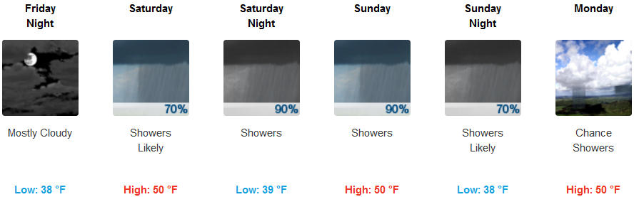
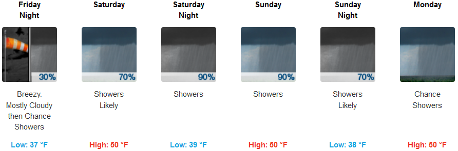
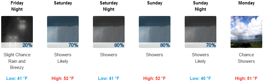
Along the coast, should see cold temperatures in the morning with partly sunny skies with a freeze warning for the northern California coastline issued by the National Weather Service. Precipitation is expected to start very early Saturday morning continuing through the weekend. Low temperatures are expected to reach freezing early morning and range in the low to mid 30’s with afternoon highs getting up to the upper 40’s.
Brookings:
Crescent City:
Gold Beach:
Cave Junction:
Grants Pass:
Medford: