

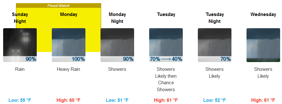
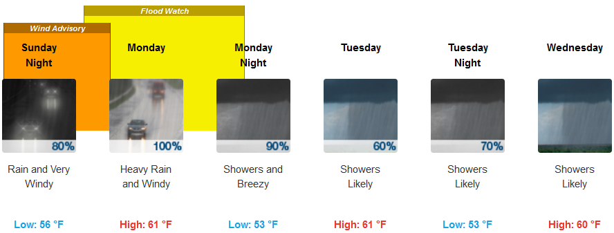
Big changes in the weather pattern are forecast for late Sunday through the beginning of the work week in southern Oregon and northern California, including Flood Watches and Wind Advisories issued by the National Weather Service with significant impacts focused at the coast, decreasing in values as the front moves inland.
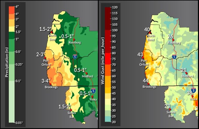
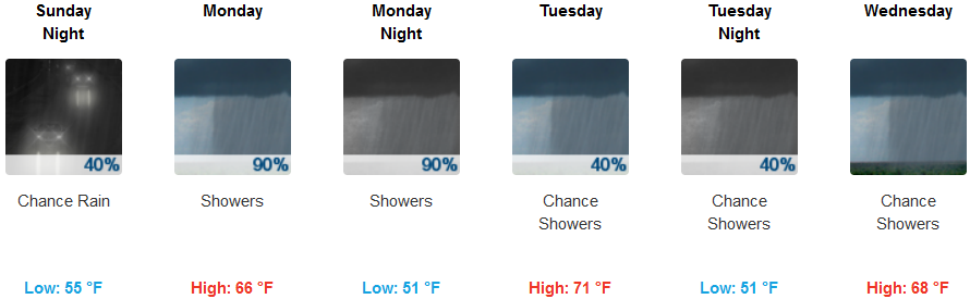
Inland areas, rain is expected Sunday evening with the wet weather continuing into mid-week. Strong gusty winds are possible reaching as high as 21mph as the work week progresses. Inland temperatures are expected to remain well under normal, but relatively warm with afternoon highs ranging between the mid 60’s and low 70’s and lows in the low 50’s.
Along the coast both Flood Watches and High Wind Watch have been issued from Reedsport, Oregon, down through Eureka, California, from Sunday through Monday with moderate to heavy rain forecast. High Wind Watch is in effect for parts of Sunday and Monday for portions of the coast, including Port Orford,with locally heavy rainfall possible across Del Norte and Humboldt counties on Monday.
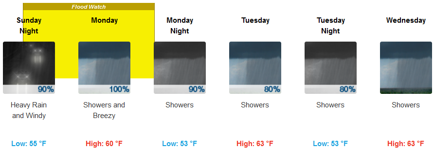
Brookings:
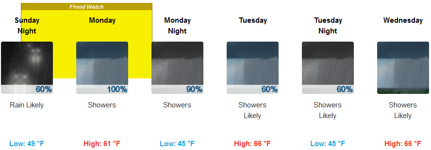
Crescent City:
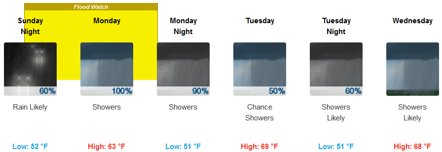
Gold Beach:
Cave Junction:
Grants Pass:
Medford: