

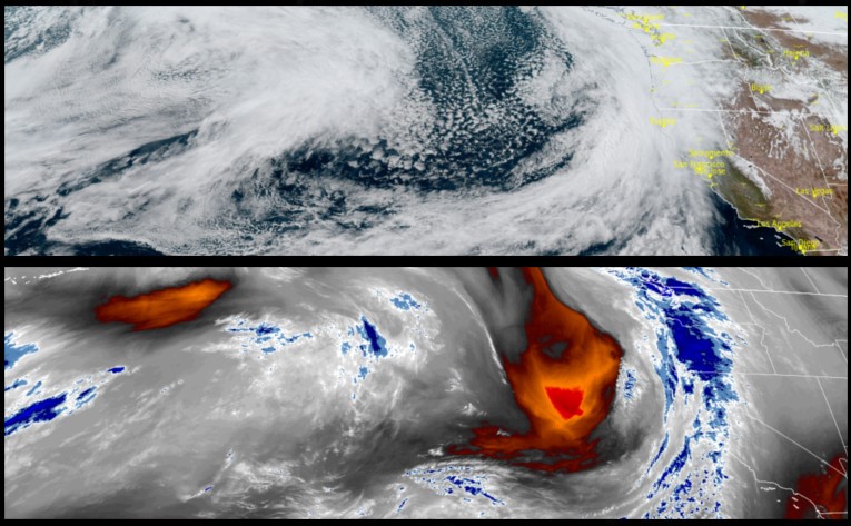
The current round of precipitation is expected to continue through Thursday evening and into Friday morning as before slightly clearing to mostly cloudy skies late Friday and through Saturday and into Sunday before the next weather system is expected to move into the area late Sunday bringing more rain to start the workweek.
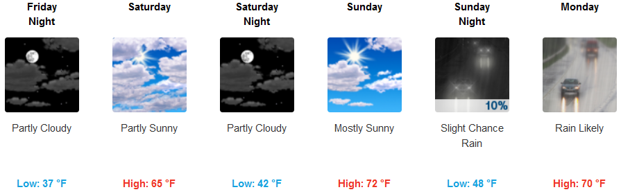
Inland areas can expect rain to mid day Friday, before clearing for much of the weekend with only chances of localized showers as unsettled weather moves across northern California and southern Oregon. Although precipitation is not expected, temperatures are expected to warm with lows in the mid to upper 40’s and high’s possibly reaching the low 70’s Sunday before the next weather system moves in with the next bout of rain.
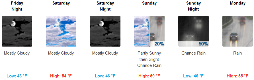
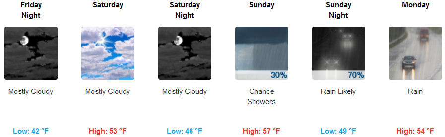
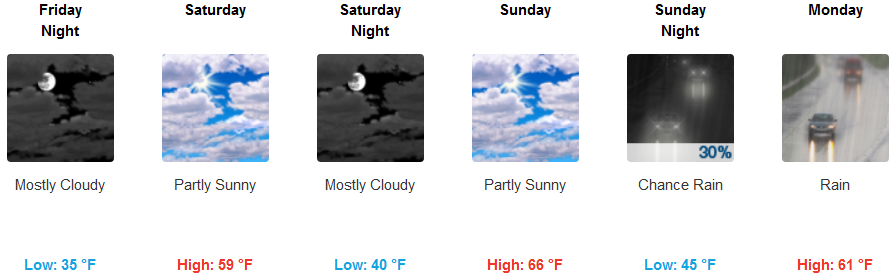
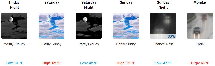
Coastal regions will see the warm storm system responsible for the recent round of rain move out of the area ushering in mostly cloudy skies for much of the weekend before the next round of precipitation begins to move onshore Sunday afternoon. Humidity and warmer air will bring temperatures up along the coast with lows in the upper 40’s and high temperatures getting up to near 60 in some areas before rain returns Sunday afternoon.
Brookings:

Crescent City:
Gold Beach:
Cave Junction:
Grants Pass:
Medford: