

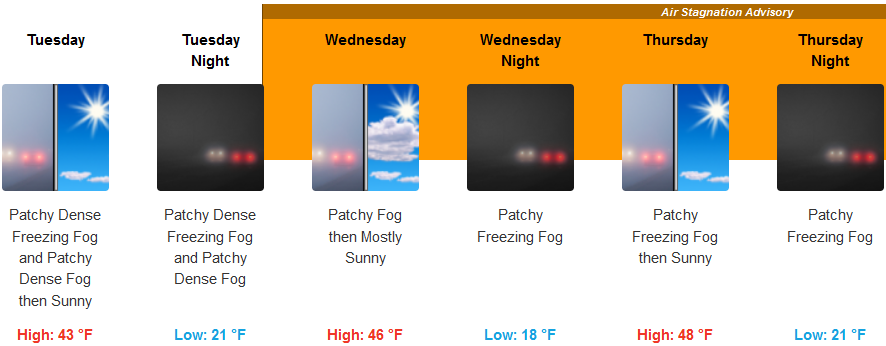
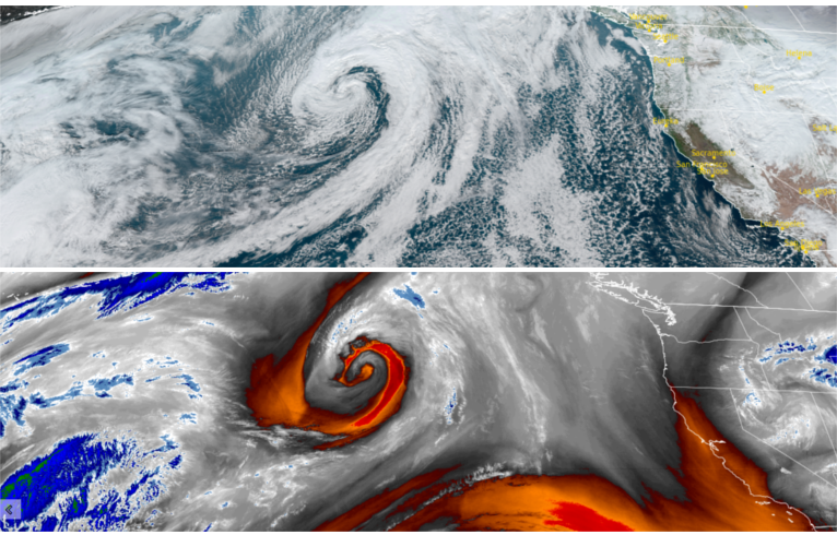
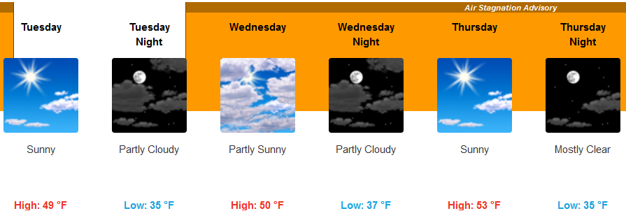
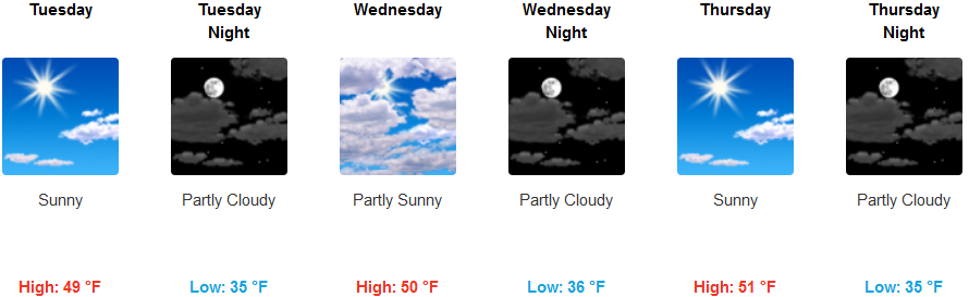
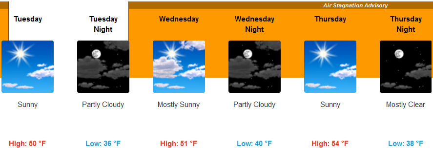
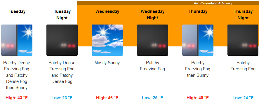
The low pressure system responsible for the cold wet weather for the past week has slowly moved to the south and east with high pressure forecast to move over the region and the National Weather Service has issued an Air Stagnation Advisory through Friday, December 16th.
Inland areas can expect even colder temperatures as the work week progresses with early morning localized fog as well as freezing fog is possible across much of the region. Precipitation is not expected this week as the ridge of cold air brings partly cloudy to mostly sunny skies through the week. High temperatures will only reach the mid to upper 40’s, with low temperatures dropping to the teens as the work progresses.
Along the coast, the National Weather Service has issued a Frost Advisory for the immediate coastal areas early Tuesday morning, however, it is expected to warmer than temperatures inland. Tuesday is forecast to be mostly sunny along the coast, continuing through the work week with high temperatures reaching the low 50’s and lows in the mid 30’s.
Brookings:
Crescent City:
Gold Beach:
Cave Junction:

Grants Pass:
Medford: