


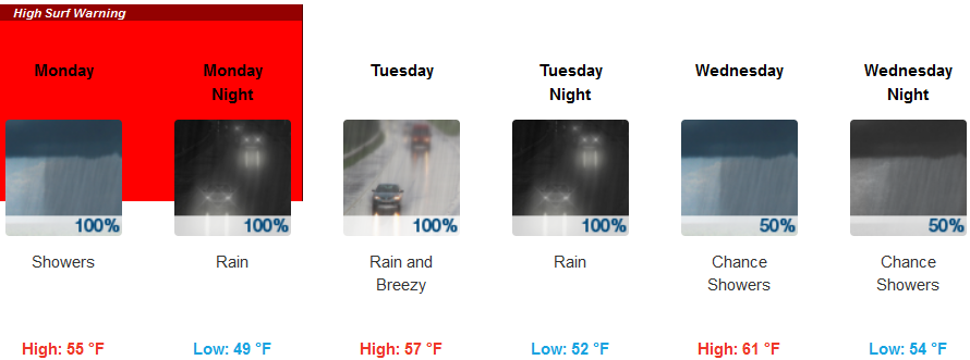
Coastal flood warnings and High Surf Warnings remain in effect all along the Oregon and northern California coastlines into Monday and early Tuesday. Historically high swell heights of 30 to 40 feet are expected through Monday, gradually diminishing Monday night but remaining high.
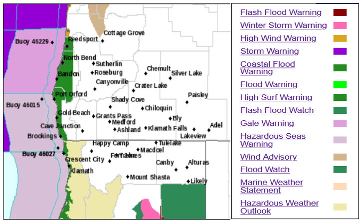
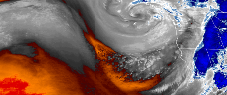
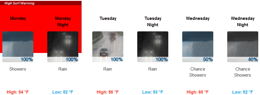
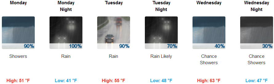
The low pressure system centered off the coast north of Washington, continues to circulate precipitation into the northwest with areas receiving significant levels of precipitation. Monday showers are forecast to change to rain as the day progresses with southwest winds from 10 to 20 mph.
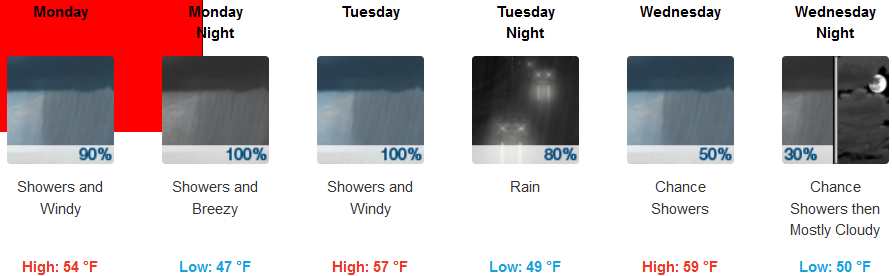
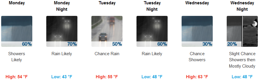
Inland, rain is forecast through Wednesday evening, with 10-15 mph winds. Low temperatures are forecast to be in the mid 40’s with high temperatures starting in the upper 50’s and warming to the mid 60’s late Wednesday.
Coastal areas are forecast to stay under High Surf and Coastal Flood Warnings into Tuesday. A south wind of 16 to 20 mph is forecast with gusts as high as 40 mph Tuesday. Temperatures along the coast will range from early morning lows in the 50’s to the low 60’s Wednesday.
Brookings:
Crescent City:
Gold Beach:
Cave Junction:
Grants Pass:
Medford:
