

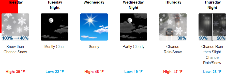
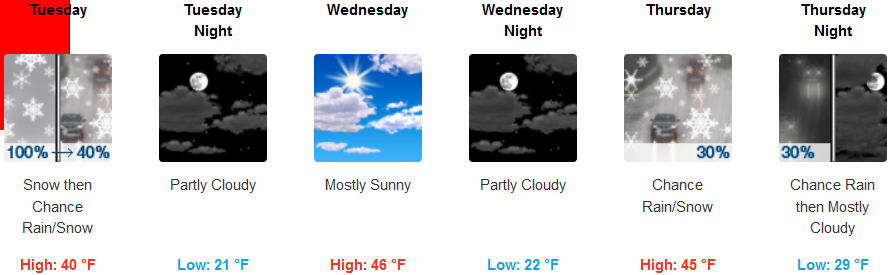
A fast moving cold front forecast to move over the area Monday is expected to bring the possibility of low elevation snow Monday afternoon, continuing through Tuesday morning. Light accumulations could reach the valley floor Tuesday morning with heavier amounts possible over higher elevations.
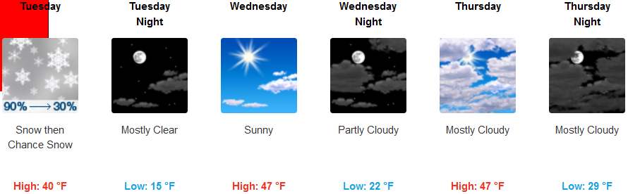
The National Weather Service has issued Winter Storm Warnings across much of the interior, with accumulations of low elevation snow possible. The mass of cold air is expected to drop valley temperatures into the teens Tuesday morning, before low temperatures reach the low to mid 20’s by mid-week. Skies are expected to clear up mid-week with the possibility of another round of precipitation beginning late Wednesday and Thursday.
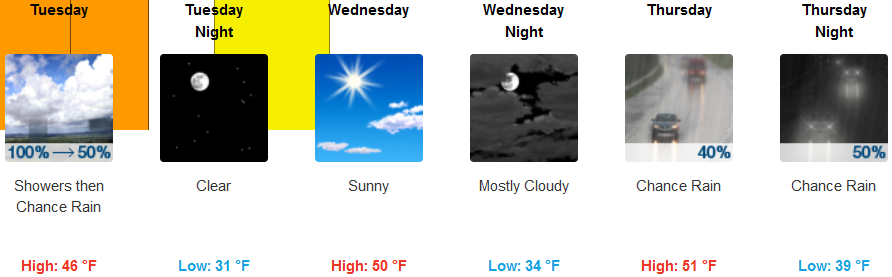
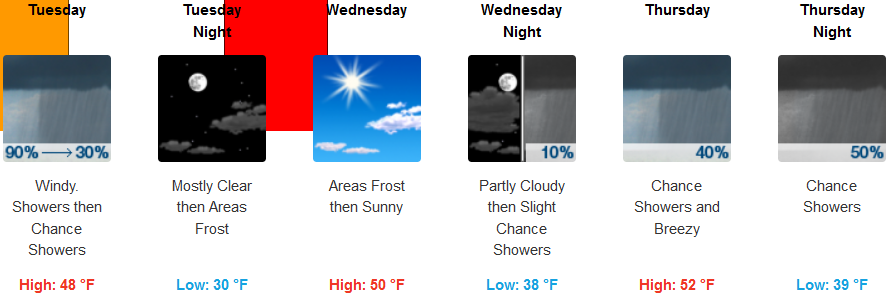
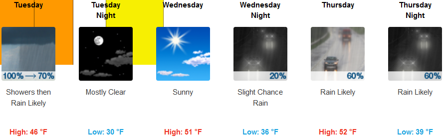
Along the coast, showers are forecast for much of Tuesday, before clearing Wednesday and ushering in another round of cold air. A Winter Storm warning has also been issued for the coast with a Freeze Warning issued by the National Weather Service for Wednesday followed by a very good chance for more precipitation beginning Thursday. High temperatures will only reach the low 50’s, while low temperatures are expected to drop the upper 20’s to low 30’s fro early morning lows Wednesday.
Brookings:
Crescent City:
Gold Beach:
Cave Junction:
Grants Pass:
Medford: