

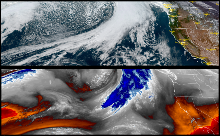
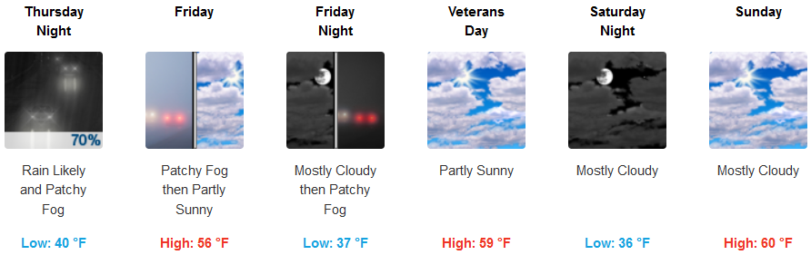
The system forecast to bring precipitation through Tuesday, shifted to the north allowing the area to recover from the heavy rain over the past weekend. A cold front is forecast to move through Thursday possibly bringing snow showers to the highest elevations.
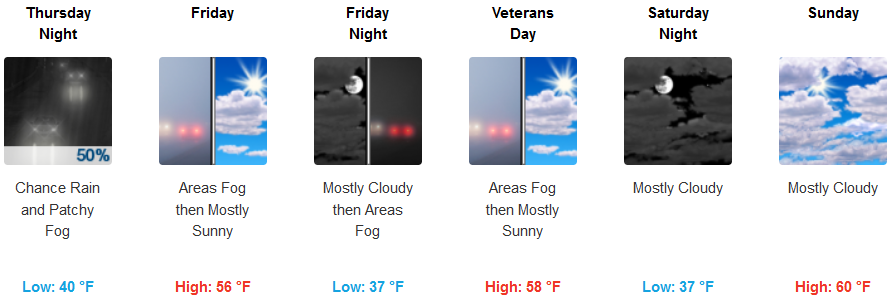
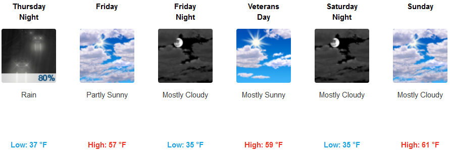
Inland areas can expect patchy freezing fog as cold temperatures continue into the weekend under mostly cloudy skies with increasing clouds into Thursday afternoon before rain late Thursday into very early Friday morning. Temperatures will remain in the mid to upper 30’s for lows with highs in the upper 50’s.
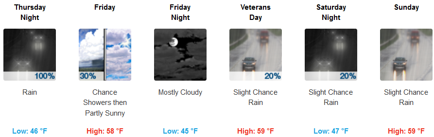
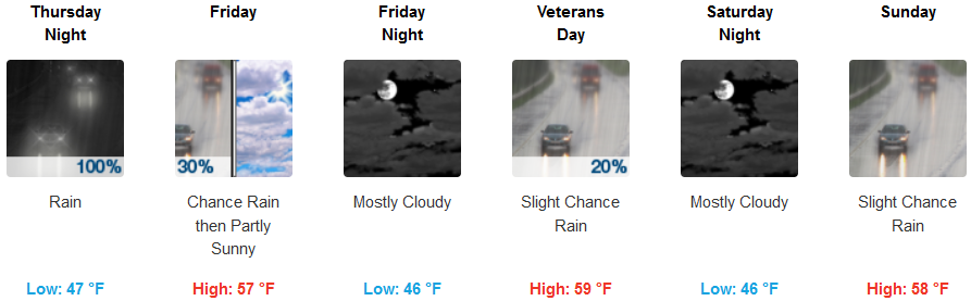
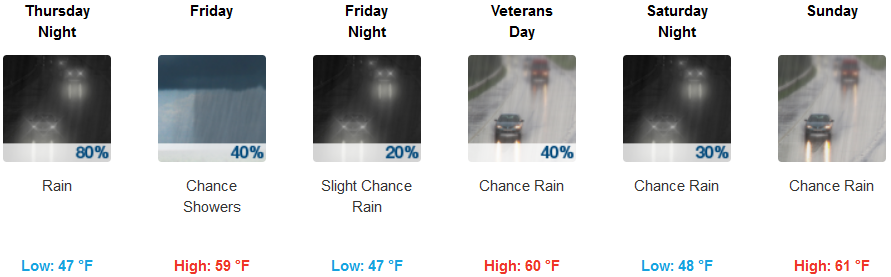
Along the coast patchy fog is forecast in the morning under cloudy skies before rain is expected to move into the area early Thursday afternoon. Low temperatures are expected to stay in the mid 40’s before the next chance of precipitation moves into the area over the weekend with afternoon highs reaching the mid 50’s.
Brookings:
Crescent City:
Gold Beach:
Cave Junction:
Grants Pass:
Medford: