

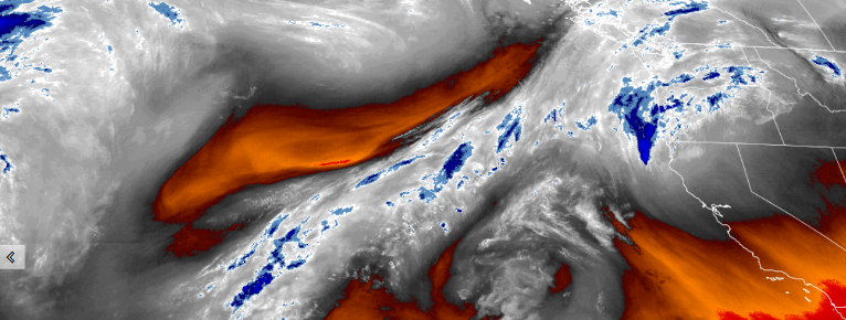
The weather pattern now has an approaching front that is preceded by cold temperatures pushing into the northwest as the weekend approaches. Temperatures over the past few days have cooled significantly, and frost advisories have been issued by the National Weather Service for much of southwest Oregon and northwest California.
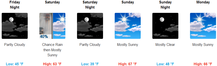
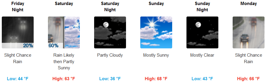
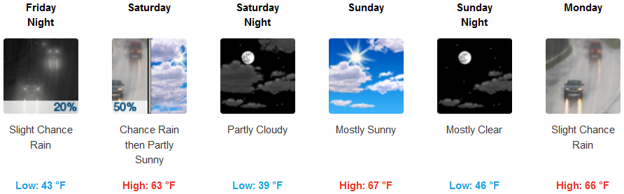
Inland areas are forecast to see only light amounts of precipitation as the front, circulating down from the north, pushes further south. Showers are likely late Friday night and into Saturday, and although temperatures are forecast to be cold, any snow is only expected at the highest passes. Low temperatures could get as low as the mid to low 30’s in the higher elevations, but should stay in the low 40’s, with afternoon highs in the mid 60’s.
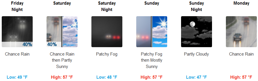
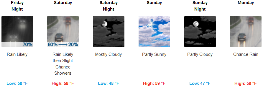
Coastal regions will be mostly cloudy Friday morning, with rain likely late Friday night and into Saturday. Skies be mostly cloudy Sunday as another weak chance of precipitation moves onshore. The coldest temperatures are expected to be inland off the coast leaving low temperatures in the mid 40’s with highs in the mid to upper 50’s throughout the weekend.
Brookings:
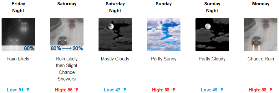
Crescent City:
Gold Beach:
Cave Junction:
Grants Pass:
Medford: