

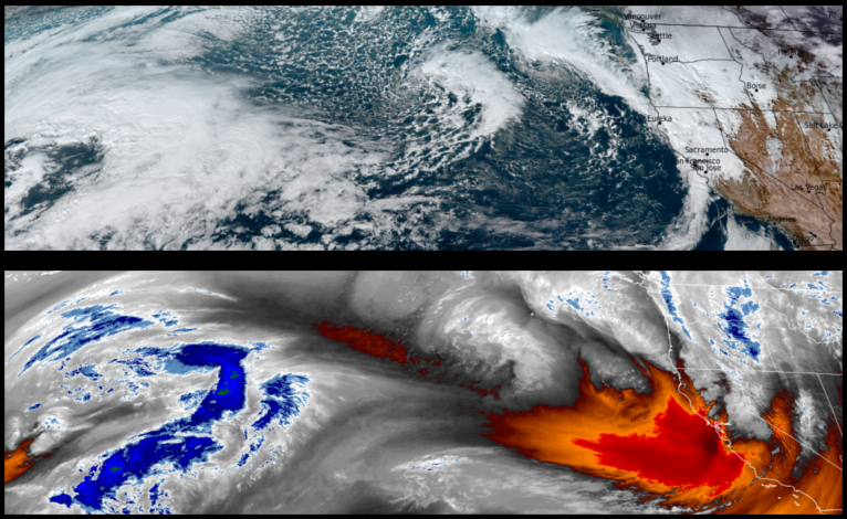
Precipitation is forecast to continue with a brief week frontal system moving into the area before a short break and another round of rain sets up off the coast poised for the weekend. This new round of systems will bring cold air with it, dropping temperatures across the region over the weekend.
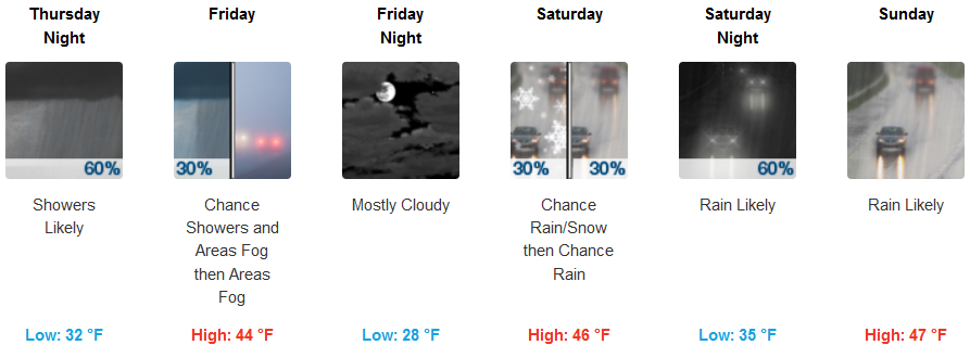
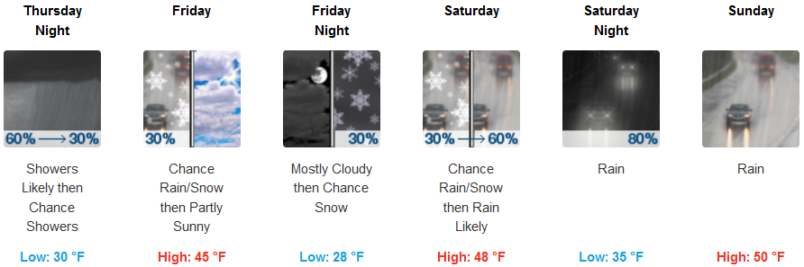
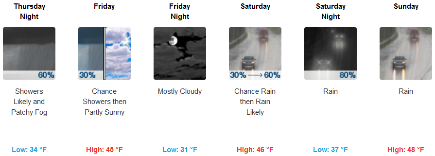
Inland areas are forecast to see rain continue Thursday as the warmer weather pattern over the past week begins to cool, dropping low temperatures into the low 30’s as well as snow levels down to about 2700ft. Rain and possible snow are expected through the weekend, with early morning lows in the low upper 20’s to low 30’s and afternoon highs in the mid to upper 40’s.
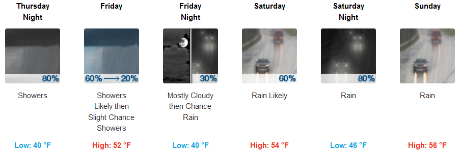
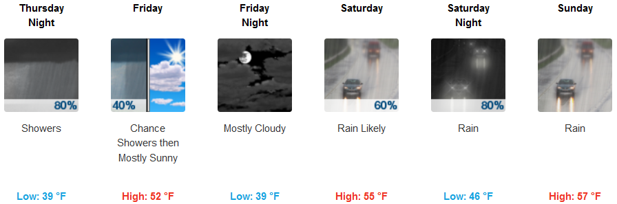
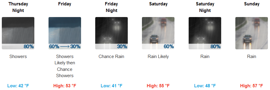
Along the coast, more rain with the possibility of a short break Friday is expected through the weekend. The coast is expected to stay relatively warmer than inland areas comparatively speaking, with morning lows in the low to mid 40’s and highs in the low to mid 50’s.
Brookings:
Crescent City:
Gold Beach:
Cave Junction:
Grants Pass:
Medford: