

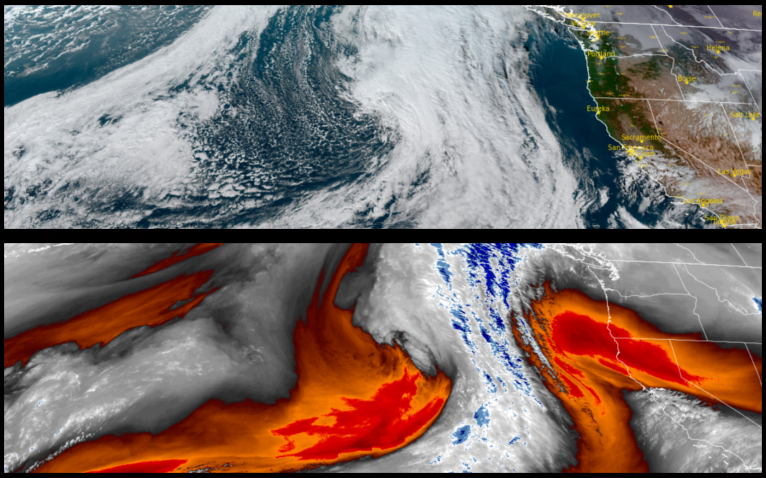
The cool temperatures and mostly clear skies are forecast too continue to start the work week across the region before a low pressure system begins to push the high pressure system responsible for the cold and dry Thanksgiving holiday weekend begins to push to the east.
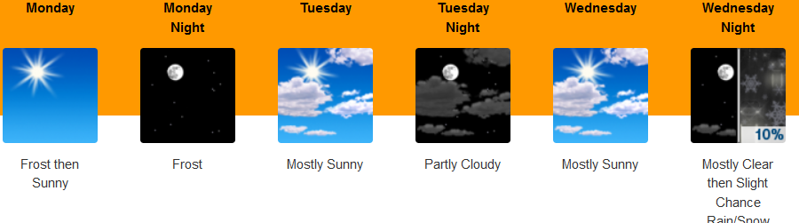
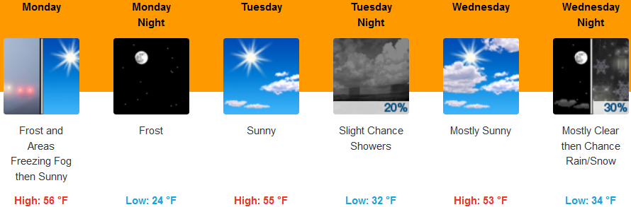
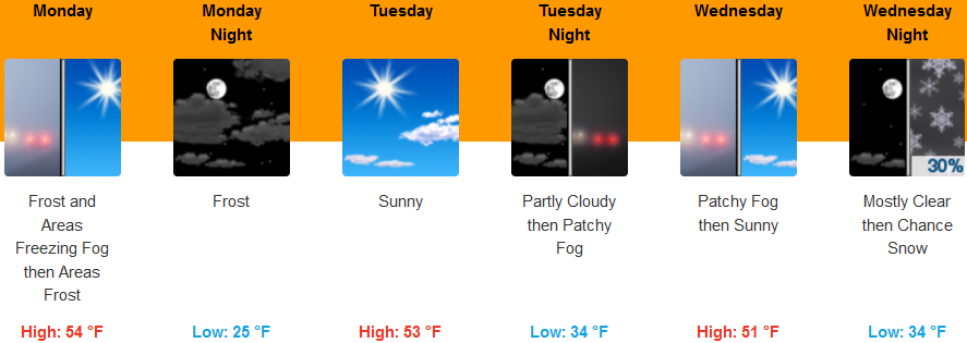
Inland areas should expect widespread frost before 11:00am under mostly sunny skies to start the week before a low pressure system moves over the region as early as Tuesday bringing chances of rain and snow at higher elevations. Early morning low temperatures are expected to be in the mid to upper 20’s with afternoon highs only getting to the low to mid mid 50’s.
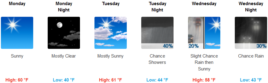
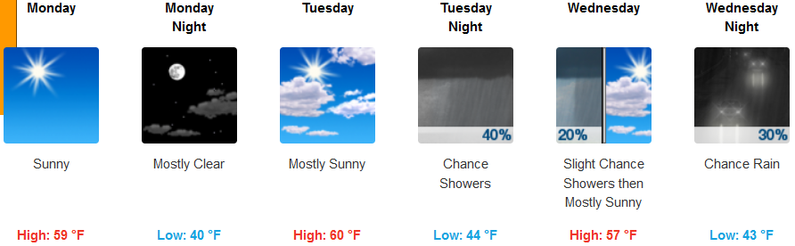
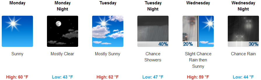
Along the Coast mostly clear skies are forecast before a weather system moves onshore late Tuesday bringing considerable chances for precipitation beginning Tuesday evening. Cold conditions will result in frost and freezing conditions with frost possible along the immediate coast to the south. Early morning lows are forecast to be in the low 40’s with highs in the mid to upper 50’s.
Brookings:
Crescent City:
Gold Beach:
Cave Junction:
Grants Pass:
Medford: