

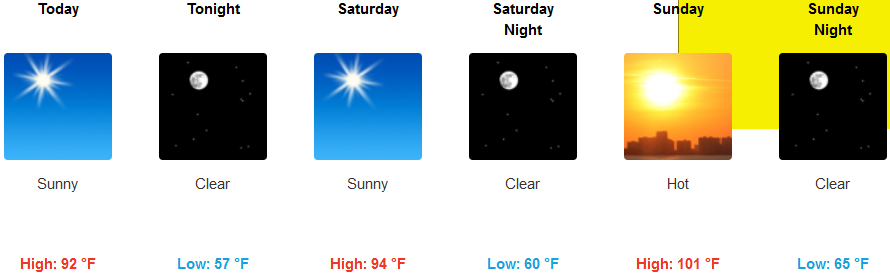
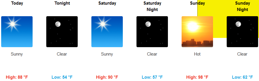
A large dome of high pressure will continue the sweltering heat and the summer like weather will persist through this weekend, with the hottest temperatures expected Sunday and Monday generating an excessive heat warning for Sunday and Monday by the National Weather Service.
Dangerously hot conditions with temperatures between 100 and 105 degrees are possible in eastern Curry County, Josephine and Jackson counties. In addition to hot day time temperatures, overnight temperatures are expected to be unseasonably warm as well providing little relief from the daytime heat.
Inland warm temperatures will run through the weekend, warming as the weekend progresses. Low temperatures will be in the mid 50’s while the high’s will reach triple digits in some areas.
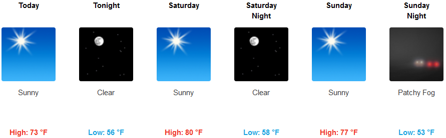
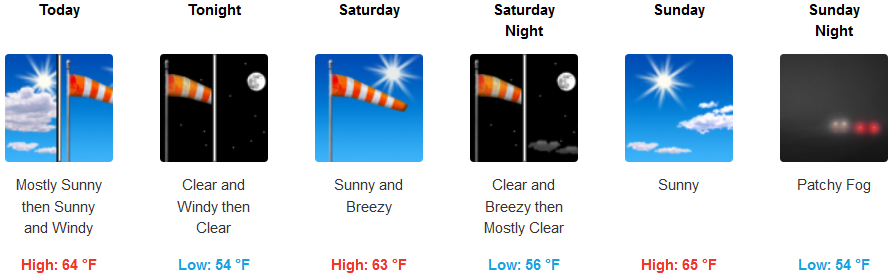
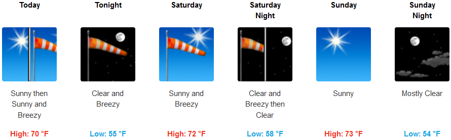
On the coast expect clear skies and localized breezy conditions. A ‘Chetco Effect’ situation could occur as very warm air from the valley escapes through the Chetco River canyon, increasing temperatures locally in the Brookings-Harbor areas. Low temperatures are forecast in the mid 50’s with high’s in the mid to upper 80’s in some locations.
Brookings:
Crescent City:
Gold Beach:
Cave Junction:

Grants Pass:
Medford: