


With the exception of the southern Oregon and northern California coastlines, Excessive Heat Warnings have been issued for much of Oregon by the National Weather Service as high pressure circulates into Oregon from the north.
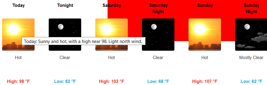
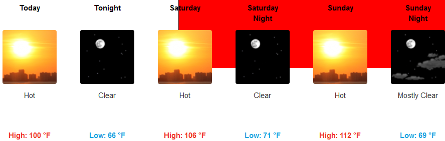
Extremely hot temperatures are expected this weekend into early next week and daily high temperature records are expected to be broken later in the week end. While it will be cooler overnight into the morning hours, low temperatures will also be warmer than normal.
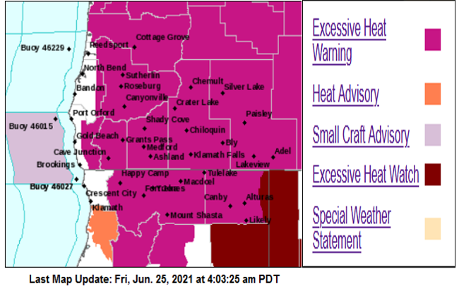
Inland temperatures are expected to continue to rise as the weekend progresses with high temperatures reaching up to 113 degrees, with little relief in the evening as temperatures are only expected to cool to the mid 70’s.
On the coast forecasts are for milder temperatures under mostly sunny skies with early morning marine layer fog. However, with the high pressure system entering the area from the north, circulation will be optimal for ‘Chetco Effect’ conditions Saturday and Sunday as the circulation aids in pushing hot air down the valley to ocean, heating the Brookings-Harbor area. Temperatures along the coast are expected to be in the mid-50’s in the morning hours warming to the mid 70’s in some areas.
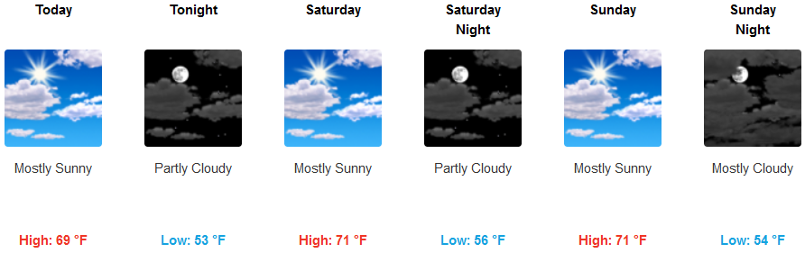
Brookings:
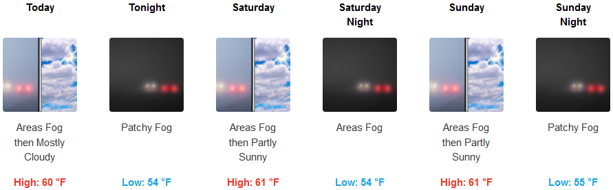
Crescent City:
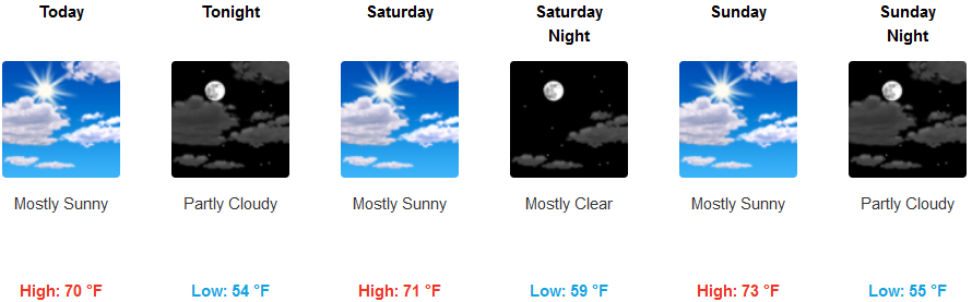
Gold Beach:
Cave Junction:
Grants Pass:
Medford:
