


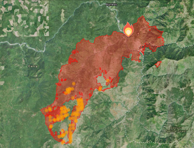
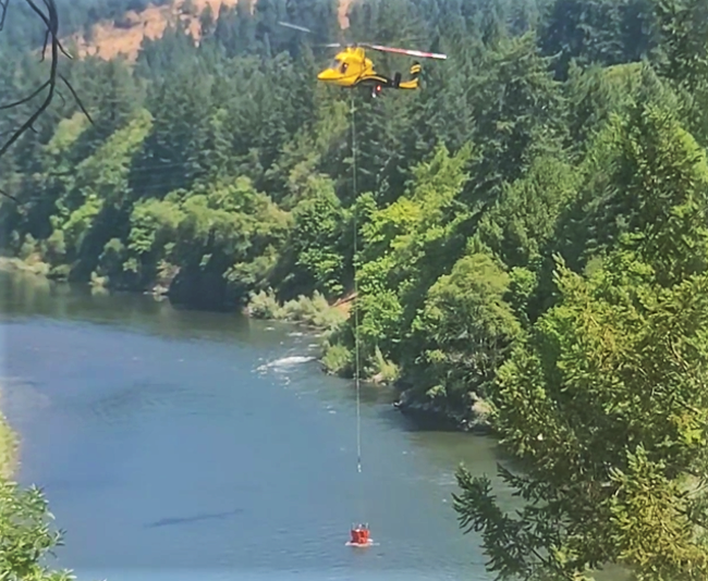
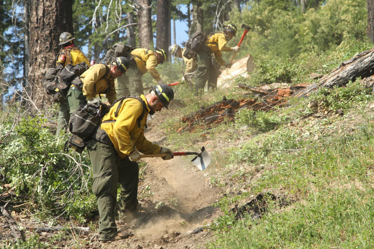
Now covering over 29,387 total acres and extending into it’s third full week since it was originally reported July 15th, fire authorities report making considerable progress on the Flat Fire after showing 1,814 acres since Monday mornings updates. Currently the U.S. Forest Service has deployed 1,547 total personnel, 52 Engines, 35 crews, 2 bulldozers, 25 water tenders, 9 helicopters, and 4 masticators, used to grind or chew woody debris into one to two inch pieces leaving behind chipped woody debris.
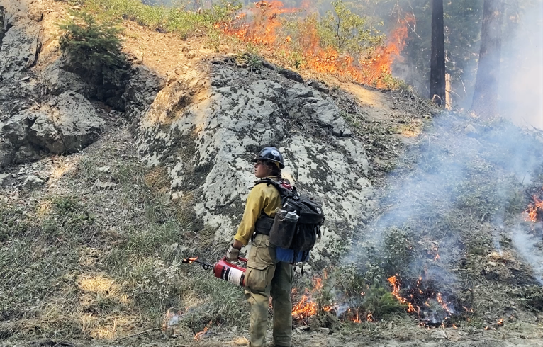
Fire crews in the southwest corner of the fire area, continued to use drones and helicopters for aerial ignitions to increase the burnout to about 200 feet interior from the fire line. Helicopters are being used for aerial firing operations further interior, bringing the main fire southwest towards the fire line and a control burn was conducted along the dozer line heading east from Game Lake with about 200 feet of depth interior of the line to the main unburned area.
The blaze continues to consume a variety of existing vegetation including brush, grass and timber and localized winds in the burn area tested containment lines Tuesday, creating four small spot fires which were located by infrared detection cameras and were quickly extinguished by fire crews potentially increasing the chances that the fireline will be able to withstand increasing fire dangers as vegetation dries and seasonal winds and heating move into the area.
Structure protection resources continue scouting for and identifying additional homes and buildings and are collecting data to aid firefighters in future structure protection as aerial resources look to achieve additional fireline depth between the western and eastern portions in the southwestern corner of the fire.
The removal of vegetation and other fuels is being completed in preparing fireline along the western containment lines and the northern containment line, from Wildhorse Lookout east is being actively mopped up and patrolled as the northeastern corner of the fire is been prepared for firing operations if the need arises due to changes in weather conditions and/or fire activity.
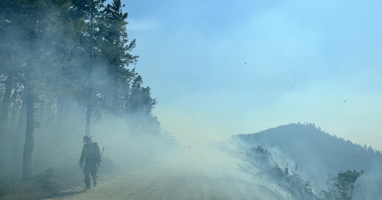
Air resources continue to be utilized as conditions and visibility allow and additional resources continue to arrive and to strengthen and create new firelines while looking for opportunities to use existing roads and bodies of water as natural fire breaks.
All remaining evacuation levels were reduced to Level 1 “Get Ready” evacuation status for all areas in the vicinity of the Flat Fire as of Monday, July 31st. The Curry County Sheriff’s Office will continue to coordinate with the Fire Incident Management Team and will notify all residents affected by the fire of any reasons to change evacuation levels. Curry County is using Everbridge to send evacuation notices. You can sign up for notifications here: https://www.co.curry.or.us/departments/emergency_management/index.php
Weather conditions forecast for slightly warmer temperatures and lower relative humidity and there is the potential for these to be the warmest day on the Flat Fire so far as the week progresses.
Fire Restrictions are in place, including campfires which are only permitted in designated campgrounds that have metal fire rings. Ensure your campfire is thoroughly extinguished before leaving.
The Rogue River-Siskiyou National Forest has issued a closure order for the fire area including trails, roads and a portion of the Illinois River. Oak Flat Campground, Game Lake Campground, Wild Horse Campground and Snow Camp Lookout Recreation Rentals are all closed as part of the area closure. The Chetco River Road (FSR 1376) and Chetco/Pistol River Road (FSR 1407) are now closed. The updated closure allows for public access to the Big Rock swimming hole on the Illinois River.
The area immediately east of Agness remains in a level 2 and the remainder of the areas around the fire are Level 2. The Curry County Sheriff’s Office will continue to coordinate with the Fire Incident Management Team and will notify all residents affected by the fire of any reasons to change evacuation levels. Curry County is using Everbridge to send evacuation notices. You can sign up for notifications here: https://www.co.curry.or.us/departments/emergency_management/index.php