

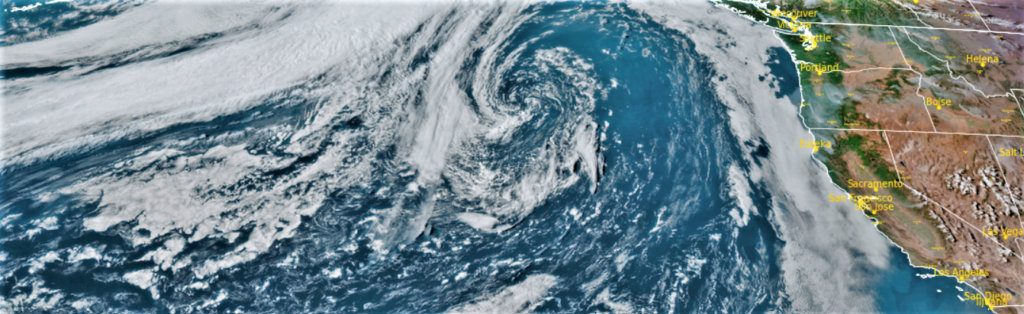
The upper level ridge of high pressure that has been responsible for the warm temperatures of late, has stalled over much of Nevada and Utah and is expected to continue to slowly move to the east allowing a dry cold front to pass through the area Friday. Gusty winds combined with low humidity is expected across much of the region with the National Weather Service issuing Red Flag Warnings through out southern Oregon and northern California, as critical fire weather conditions are likely to occur through the area Friday.
Much of southern Oregon including Siskiyou, Modoc, Jackson, Josephine, Klamath, and Lake counties, are under National Weather Service Red Flag Warnings between 11:00am and 11:00pm Friday. Air Quality Advisories have been issued by the National Weather Service along the coast of southern Oregon as smoke trapped south of the Rum Creek fire near Galice Oregon combined with forecast conditions will cause air quality levels to fluctuate and could be at unhealthy levels.
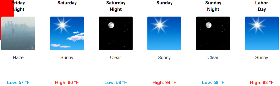
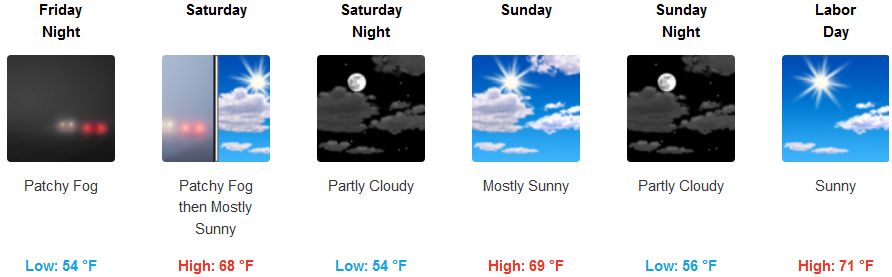
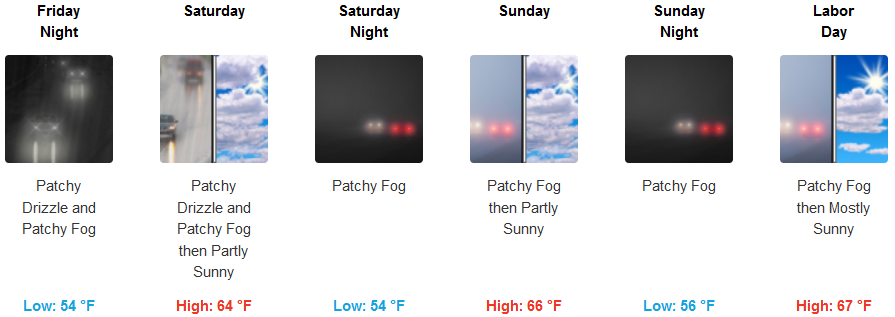
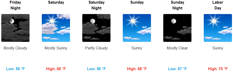
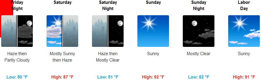
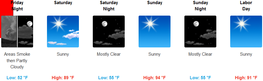
Temperatures inland are expected to remain hot through out the holiday weekend, continuing to hover at triple digits in valley areas Friday before the dry cold front enters the inland valleys, lowering temperatures into the low 90’s before warming again beginning Monday to the mid 90’s. Expect early morning fog along the coast to keep temperatures relatively mild under partly cloudy skies with afternoon highs reaching the upper 60’s in some areas.
Brookings:
Crescent City:
Gold Beach:
Cave Junction:
Grants Pass:
Medford: