

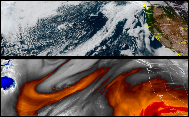
An upper level ridge of high pressure moving over the region is forecast to bring drier, warmer weather to end the work week before an area of low pressure moves into the area over the weekend ushering more precipitation as the weekend closes.
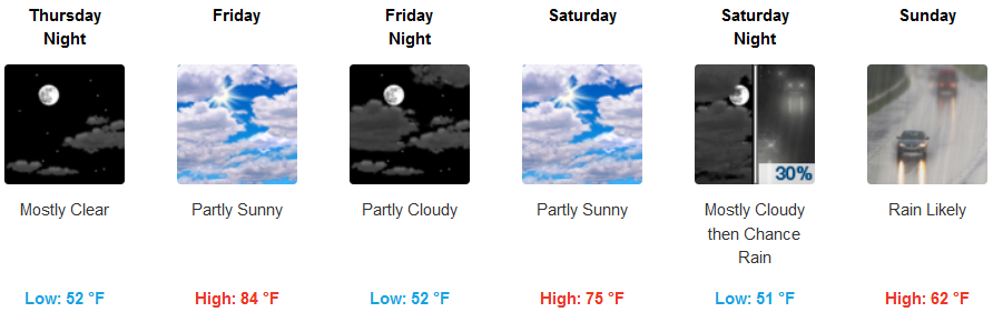
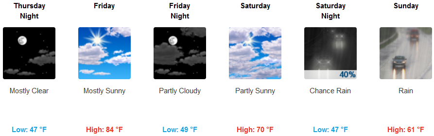
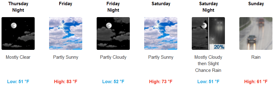
Inland, skies should continue to see clear to partly cloudy skies to close out the work week with noticeably warm temperatures before a system moves in over the weekend bringing rain Saturday and Sunday. Afternoon highs are forecast to reach the mid 80’s to close the week, with afternoon highs falling into the mid 60’s as the weekend progresses.
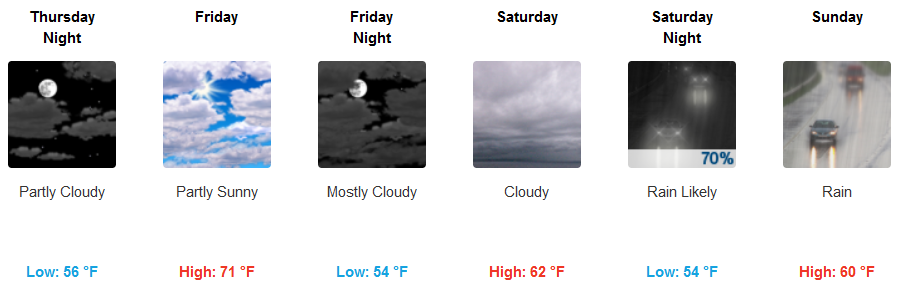
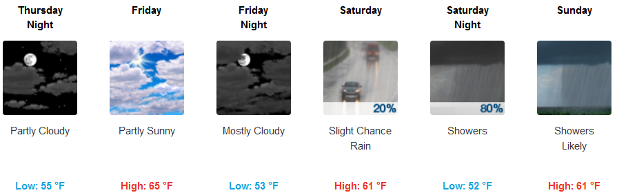
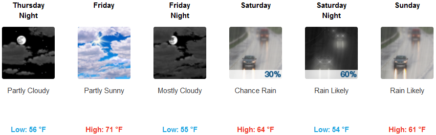
Along the coast, a persistent fog has moved into most areas along the coast and is expected to continue through Thursday before the ridge of high pressure bringing the pleasant afternoon highs moves to the east and a cooler low pressure system moves in over the weekend. Rain is forecast Saturday continuing through Sunday with afternoon lows in the low 60’s.
Brookings:
Crescent City:
Gold Beach:
Cave Junction:
Grants Pass:
Medford: