

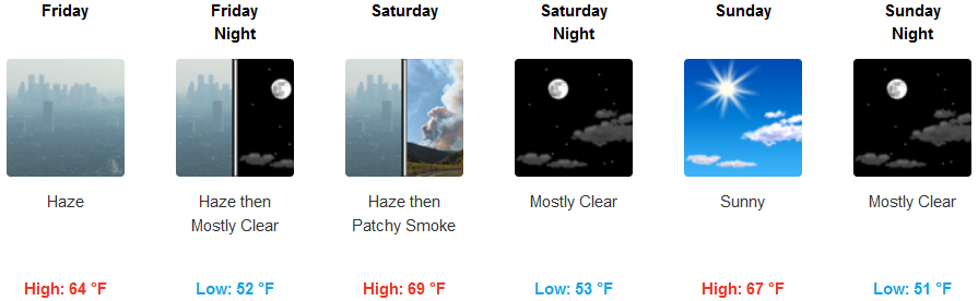
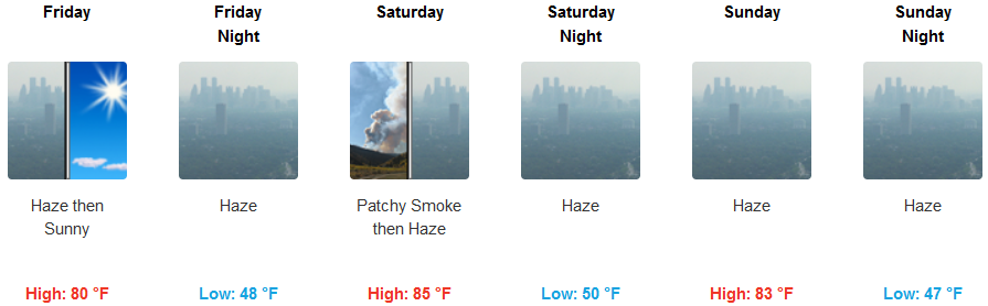
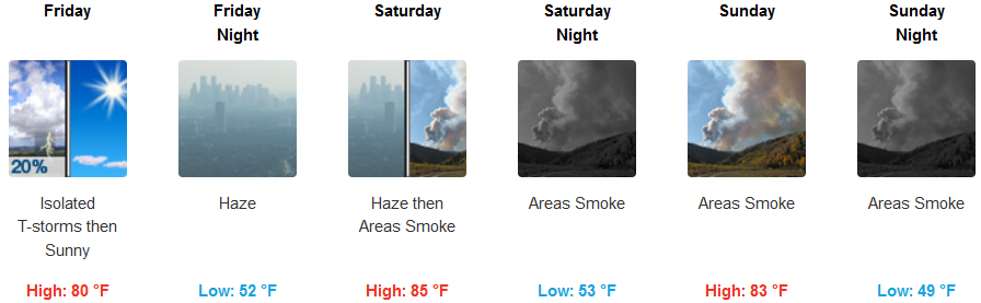
A front spins up from the southwest is forecast to move through the region Friday, with stronger westerly winds pushing smoke out of the Rogue Valley by Friday evening, however, smoke will persist east of the fires.
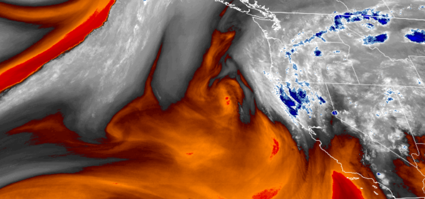
This low will bring a chance for showers and thunderstorms inland east of the Cascades into Friday morning. The main concern into this evening will be thunderstorms that have elevated bases which will result in strong, gusty downdraft winds and little or no precipitation.
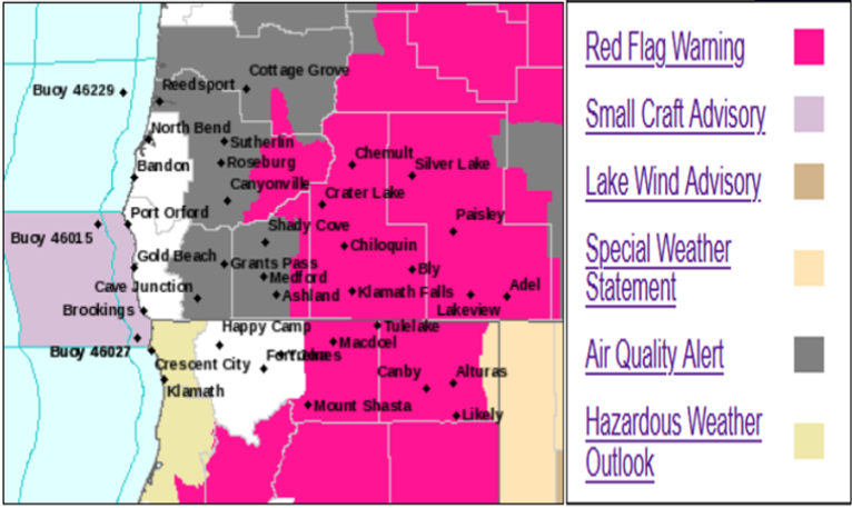
Inland Air Quality Advisories have been lifted in the valley though they remain in much of eastern Oregon as surrounding fires continue to burn. A slight chance of showers with thunderstorms going into the weekend, with temperatures only reaching highs in the mid to upper 80’s keeping lows in the mid 50’s.
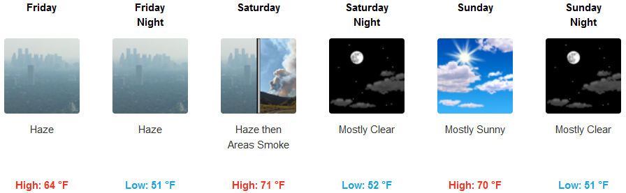
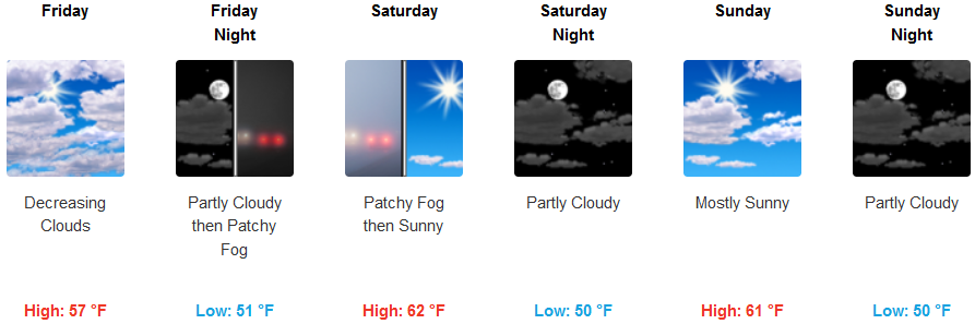
Coastal areas will continue to see hazy skies into Saturday under partly cloudy skies with localized fog before noon. As the front presses down into central Oregon, partly cloudy skies will circulate through the area, keeping temperatures low. Coastal high temperatures will see some areas reaching the upper 60’s to 70 degrees, keeping early morning lows in the low to mid 50’s.
Brookings:
Crescent City:
Gold Beach:
Cave Junction:
Grants Pass:
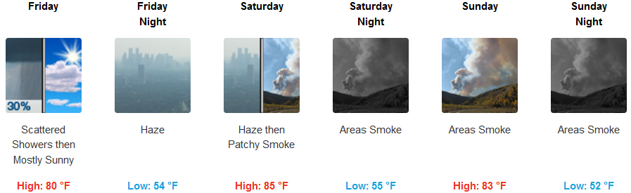
Medford: