

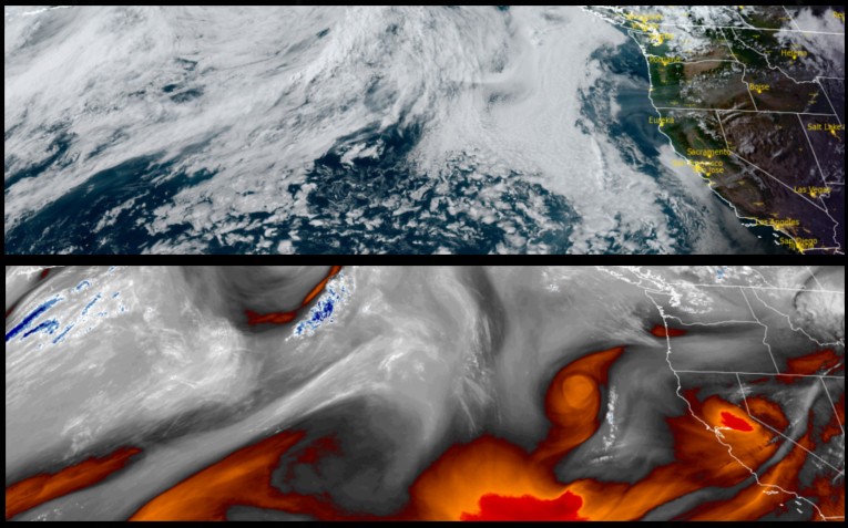
As the work week progresses, temperatures are forecast to begin slowly warming to near normal temperatures, however morning lows could be unseasonably low through Thursday as the upper level low pressure system slowly moves to the east. Unstable air is expected to quickly follow through the area, leaving the slight possibility of thundershowers over inland peaks.
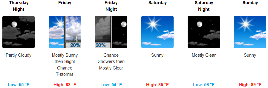
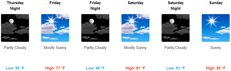
Inland areas are forecast to see partly cloudy skies warming to the mid 80’s midweek, before more unstable air moves over the area creating a slight chance for isolated thunderstorms and showers. Low temperatures are expected to only get to the low 50’s, as afternoon highs reach the low 90’s in some areas.
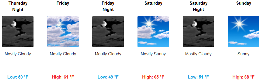
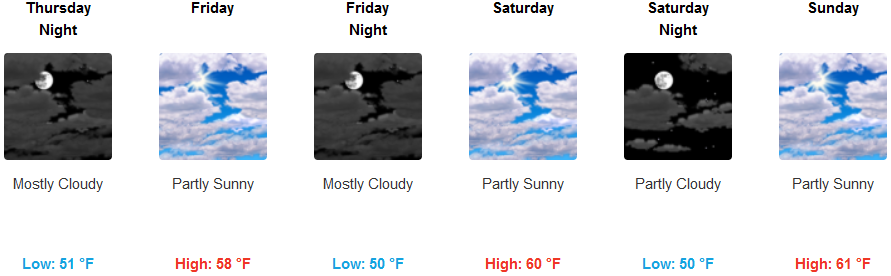
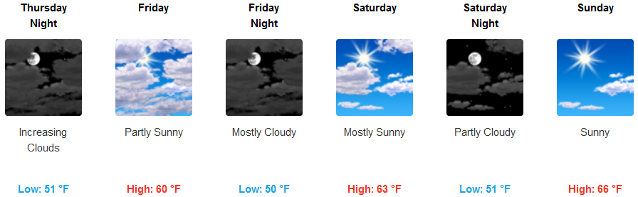
Coastal areas will see a very consistent weather pattern through the work week and the weekend, with mostly to partly cloudy skies and mild temperatures. Lows will remain steady through the rest of the week, staying in the low to mid 50’s, with afternoon highs getting to the mid to upper 60’s.
Brookings:
Crescent City:
Gold Beach:
Cave Junction:
Grants Pass:
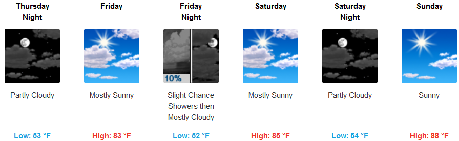
Medford: