

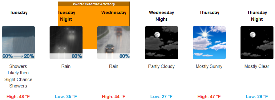
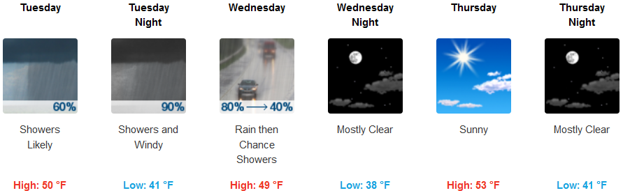
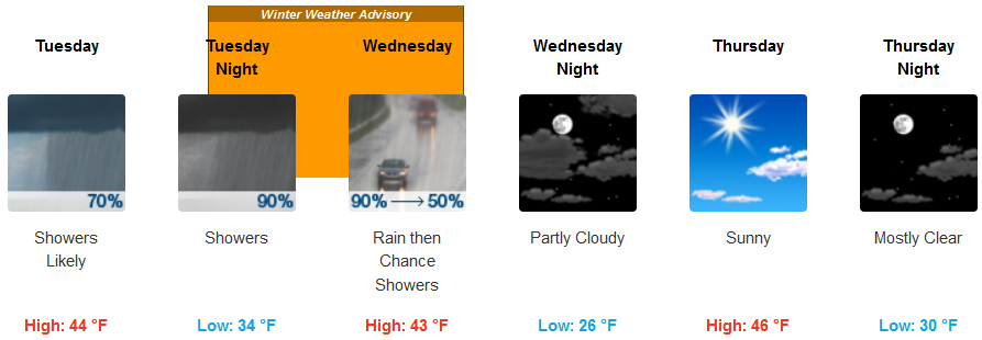
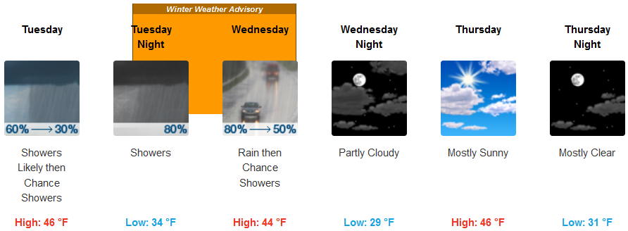
As the previous wet system moves off to the east after saturating much of the area for several days, a pocket of cold air has established in between low pressure systems and is being compressed as it is pushed onshore producing localized rain and snow showers.
Tuesday evening will see snow levels fall into the 2000ft. area with snow levels dropping as low as 1200ft. as the last system moves out the area. This could bring some snow accumulation in places like Hayes Hill and the other passes north of Medford. Wet snow may also mix in at times Wednesday morning down to the valley floors, but warm ground temperatures should prevent accumulation.
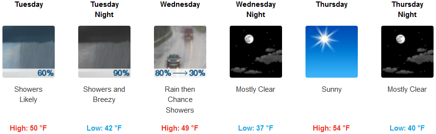
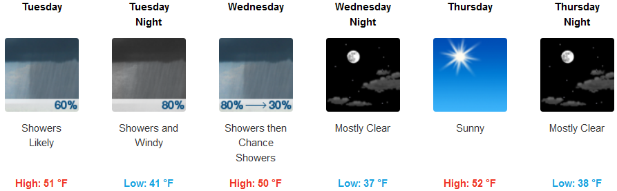
On the coast, rain is forecast through Tuesday and into Wednesday with National Weather Service flood warnings in effect through Tuesday, before drier air moves into the area going into the week end.
Brookings:
Crescent City:
Gold Beach:
Cave Junction:
Grants Pass:
Medford: