

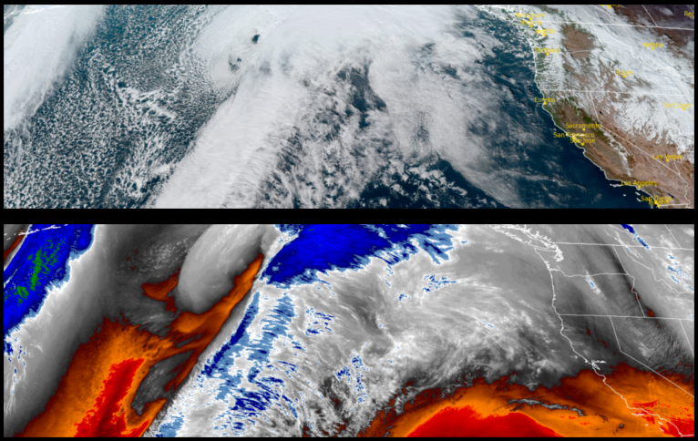
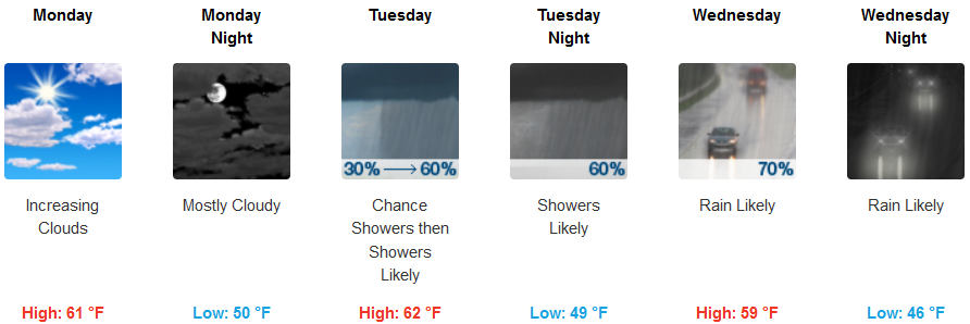
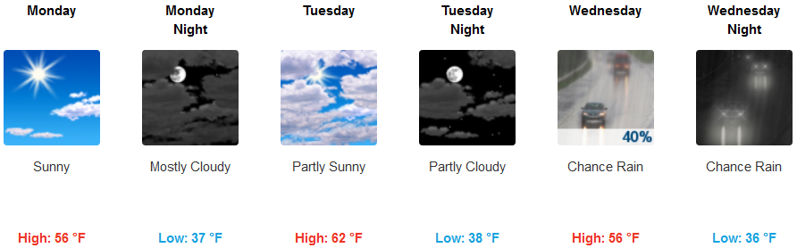
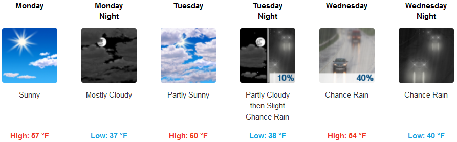
A strong slow moving low pressure system is forecast to continue to circulate cold weather into the region under partly cloudy skies before another chance for precipitation moves into southern Oregon and northern California mid-week.
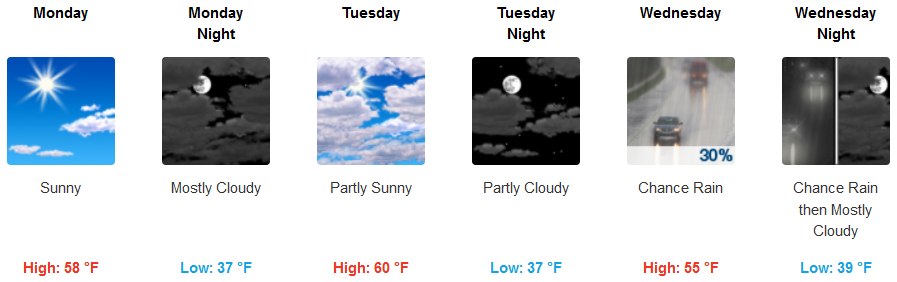
Localized areas of patchy morning dense fog is forecast for inland areas under partly cloudy skies are expected before chances of showers develop later in the week. Early morning low temperatures will be in the low 30’s early in the week with afternoon highs only getting to mid 50’s.
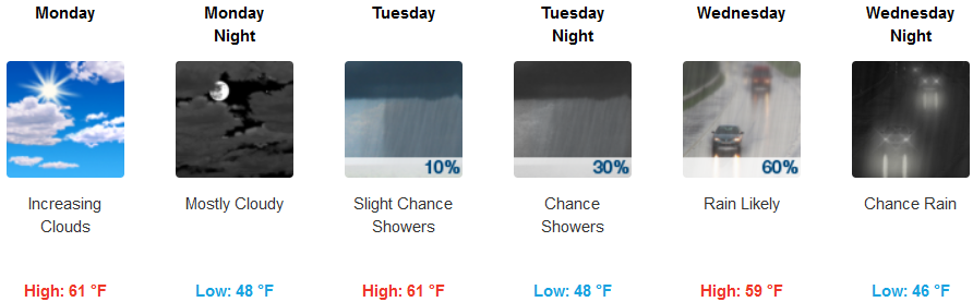
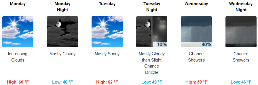
Along the Coast will see mostly partly cloudy skies with chances of precipitation increasing as the low pressure system circulates possibilities for wet weather onshore later in the week. Temperatures will remain relatively mild with early morning lows in the low 40’s with afternoon highs in the upper 50’s to low 60’s.
Brookings:
Crescent City:
Gold Beach:
Cave Junction:
Grants Pass:
Medford: