

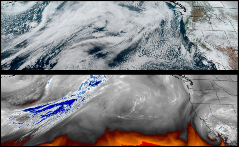
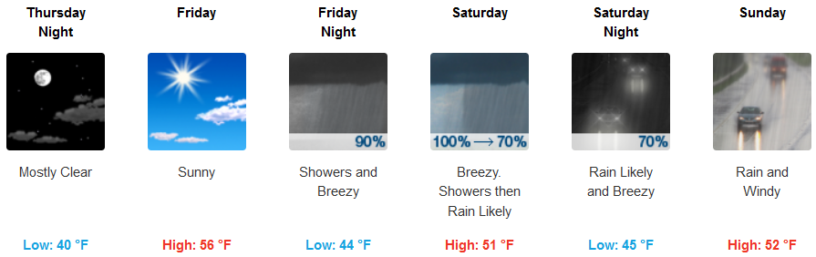
Wednesday was the start of a short break in the weather pattern with mostly clear skies and sunny warmer afternoons that is expected to extend through Friday before another low pressure weather system moves in to start the weekend early Saturday and continuing through the weekend.
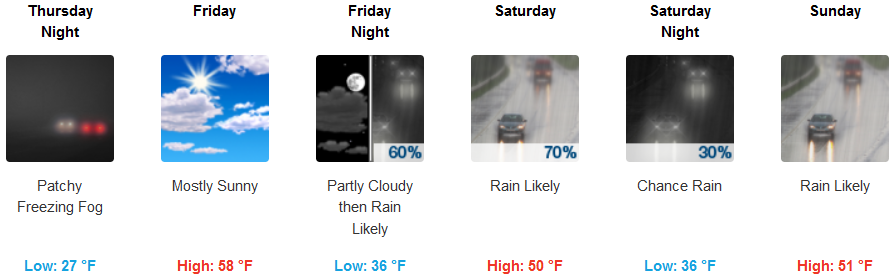
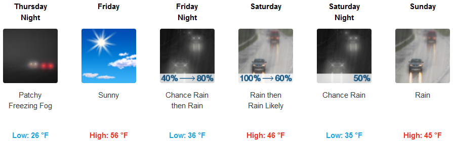
Inland areas can expect the cold air and freezing fog Thursday warming slightly Friday under mostly sunny skies before another round of rain moves in Saturday. Cold temperatures will warm slightly Friday with lows rising from the upper 20’s earlier in the week to the low 30’s with highs in the low 50’s.
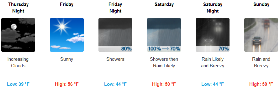
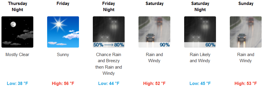
Along the coast, mild mornings and sunny warm afternoons are forecast up and down the coast Thursday and Friday before another weather system pushes on shore Friday with rain as early as Friday evening. Rain and possible thunderstorms are expected into Sunday as the cold air is pushed east by a warmer weather system. Low temperatures along the coast will be in the upper 30’s to low 40’s with afternoon highs in the mid to upper 50’s.
Brookings:
Crescent City:
Gold Beach:
Cave Junction:
Grants Pass:

Medford: