

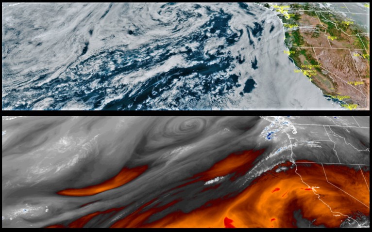
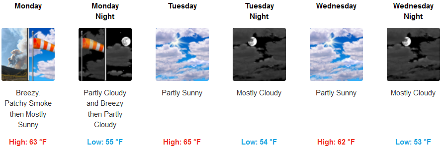
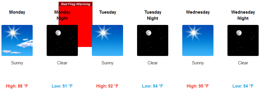
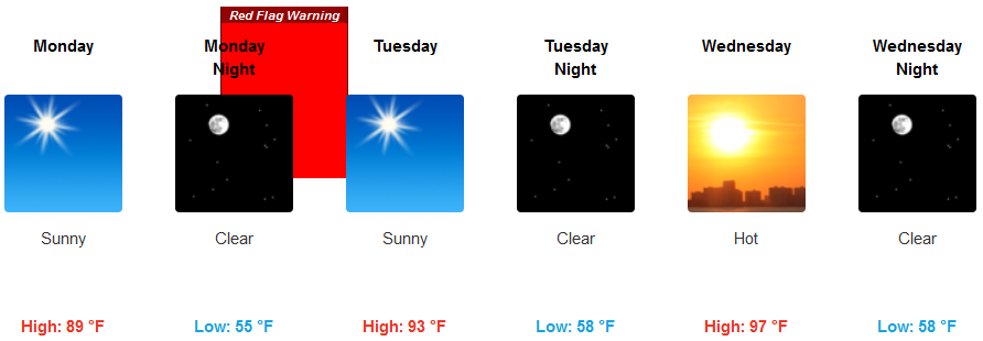
Red Flag Warnings have been issued by the National Weather Service for much of southwest Oregon from Monday evening to Tuesday morning with Northeast winds 10 to 15 mph, gusting to 25 mph, and 20-30 percent humidity causing poor relative humidity recoveries overnight. The upper level ridge of high pressure responsible for the heat wave in the West is forecast to weaken and begin to move east, however, local temperatures are expected to continue to be very warm.
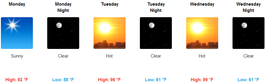
Inland valleys are forecast to see clear sunny skies and very warm temperatures as the work week progresses. 20-30% humidity levels will offer little relief or recovery from afternoon high temperatures in the evenings. Afternoon highs are expected to reach triple digits in some areas with morning lows in the mid 60’s.
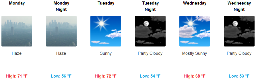
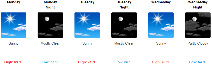
Along the immediate coast, haze and smoke are expected early in the week from the Oak Flat Fire southwest of Agness. A morning marine layer will most likely develop, however, mostly clear sunny afternoon skies will dissipate the low cloud cover as afternoon high temperatures reach the mid to upper 70’s in some locations.
Brookings:
Crescent City:
Gold Beach:
Cave Junction:
Grants Pass:
Medford: