

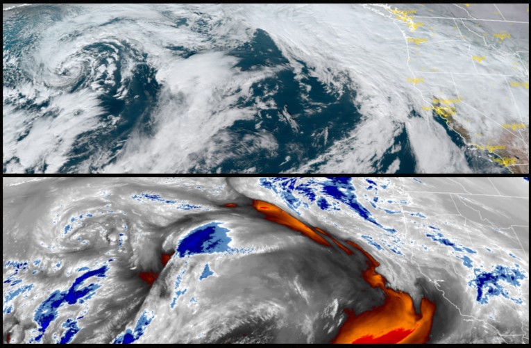
As a major cold front slipped down into the mid-west the next weather system affecting the region moved into the area Thursday and the trailing western edge of the arctic blast may bring freezing temperatures to the northern portion of the Pacific Northwest Friday.
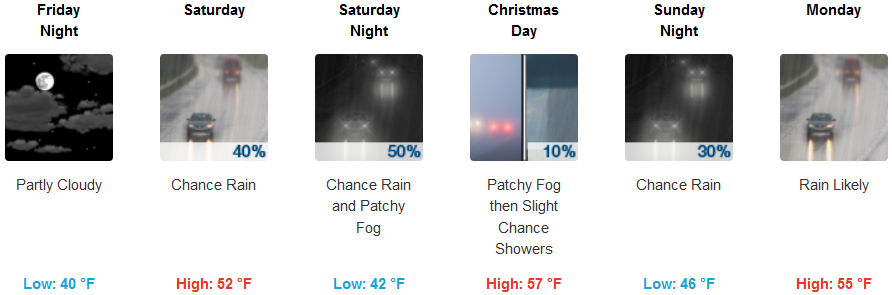
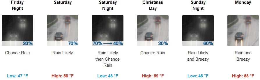
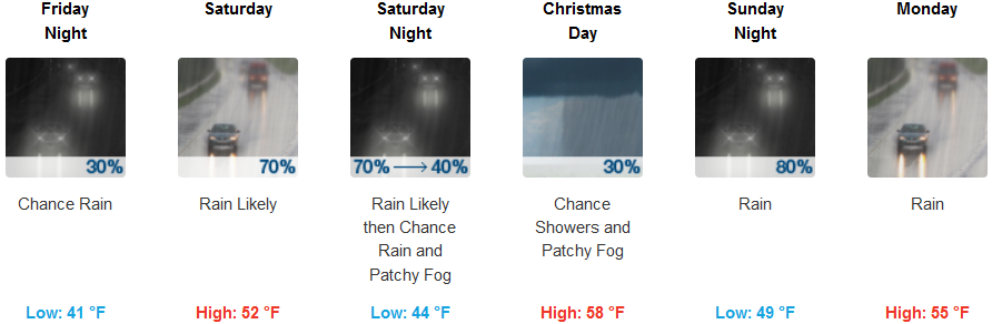
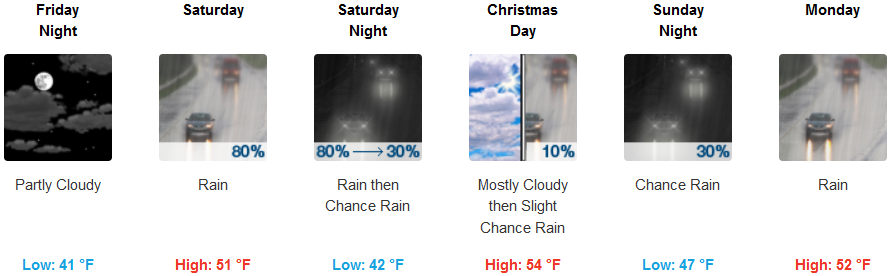
This new round of winter weather is forecast to bring increased chances for freezing rain and ice accumulation to northern portions of the Umpqua Valley prompting Winter Weather Advisories from the National Weather Service for Thursday night and Friday morning. Rain is expected to begin in the valley Friday, continuing through the Christmas holiday and into the start of next week. High temperatures will be warmest Christmas day possibly reaching the mid to upper 50’s with lows in the low to mid 40’s.
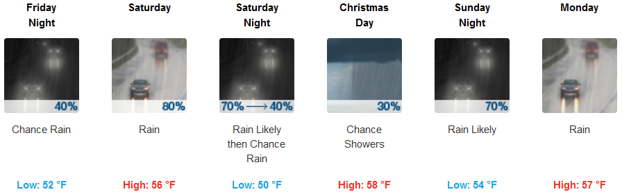
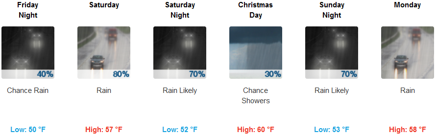
Along the coast rain is expected to start Thursday evening and is expected to continue through the holiday weekend as this new weather system moves onshore. Temperatures are forecast to stay relatively mild with highs in the upper 50’s with lows only falling to the low 50’s.
Brookings:
Crescent City:
Gold Beach:
Cave Junction:
Grants Pass:
Medford: