

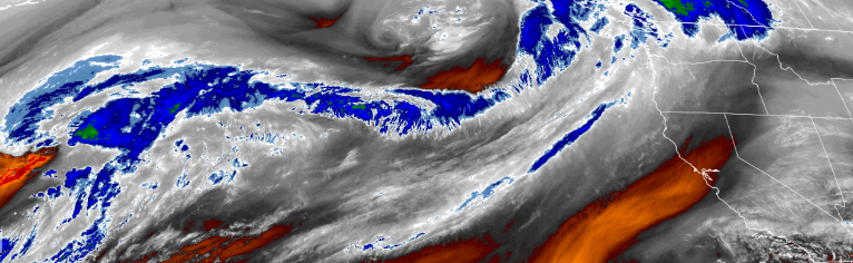
A new weather system is forecast to pass through the region bringing the possibility of locally heavy rain, mountain snow at high elevations and possibly some gusty winds and warmer temperatures beginning Tuesday. This upper ridge of warmer air pushing on shore off the northwest coast has shifted the colder air mass to the east, and now weather systems and precipitation can begin to push into the area while pushing warmer air into the region into the week end with the next chance for precipitation possibly to starting as early as Tuesday afternoon.
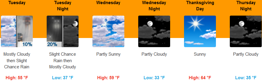
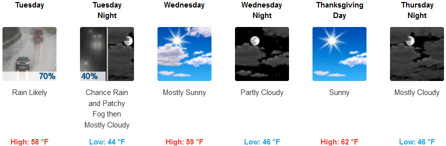
Inland areas are forecast to see patchy partly cloudy skies in the morning hours change to mostly cloudy skies with a chance for precipitation late Tuesday evening and into Wednesday morning. Afternoon highs should warm slightly, reaching the mid to upper 50’s with lows remaining in the upper 20’s to mid 30’s.
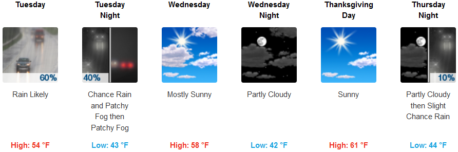
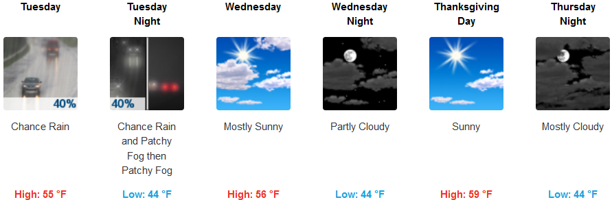
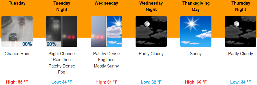
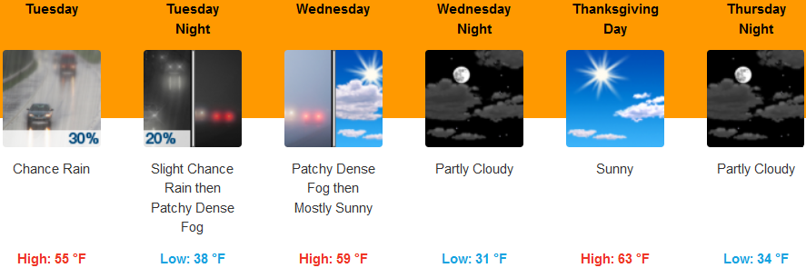
Along the coast, rain is likely Tuesday morning with chances of participation increasing as you move north, clearing Wednesday with partly cloudy mostly sunny skies. Temperatures are expected to be in the low to mid 40’s in the morning, and highs reaching the upper 50’s to low 60’s as the week progresses.
Brookings:
Crescent City:
Gold Beach:
Cave Junction:
Grants Pass:
Medford: