

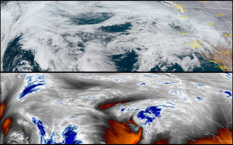
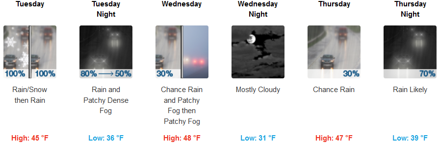
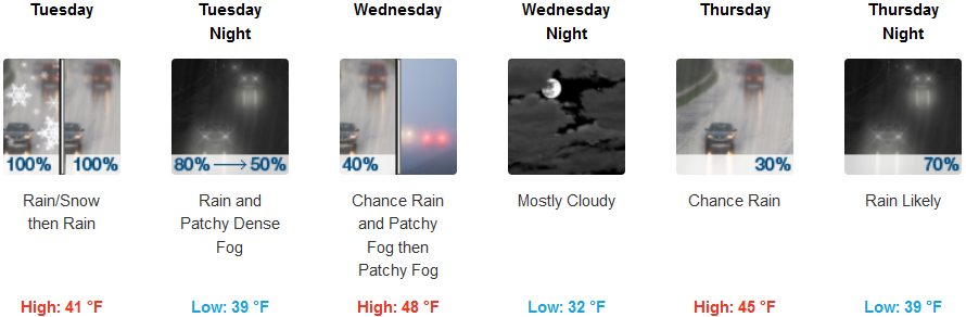
After almost a week of mostly clear skies and frigid temperatures, clouds began to build back late Monday as very cold arctic air mass moves down into the United States and a warmer trough of moist air begins to move onshore across much of the Pacific Northwest.
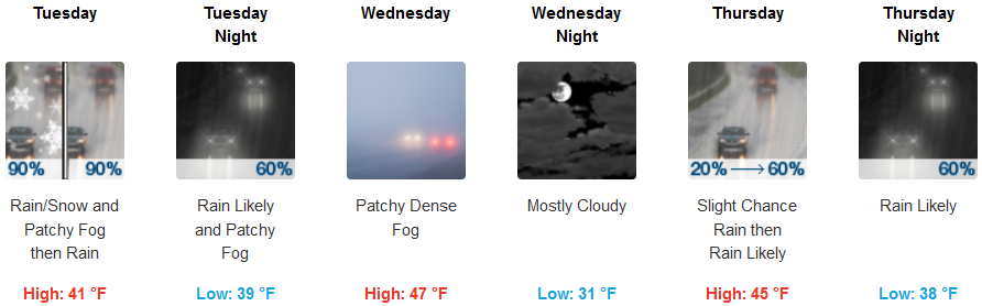
Areas inland are forecast to experience a slight chance of rain and snow late Tuesday morning with patchy dense and possibly frozen fog in some areas before snow levels rise from the 2200ft. level to above 6000ft. across the highest passes. Rain is forecast through Thursday, and temperatures are expected to remain cold through mid Tuesday before low temperatures warm to the mid to upper 30’s.
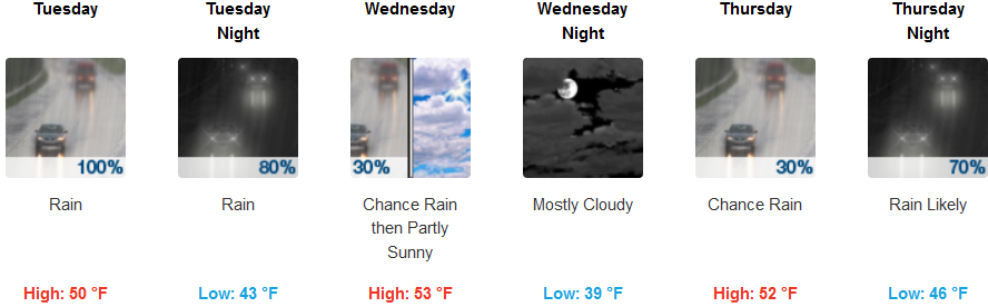
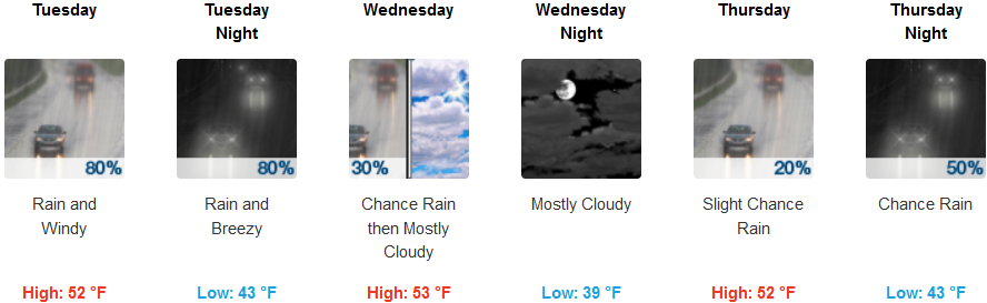
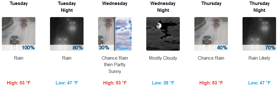
The coast is expecting cloudy skies to begin late Monday evening with precipitation to begin very early Tuesday morning, continuing into Thursday. This change in weather pattern is forecast to bring slightly warmer overnight temperatures to the coast. Again coastal cool temperatures will be considerably warmer than the interior valley as well as higher elevations with lows only falling to the mid 40’s and highs reaching the mid 50’s.
Brookings:
Crescent City:
Gold Beach:
Cave Junction:
Grants Pass:
Medford: