

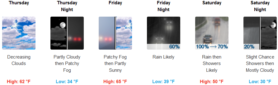
A new weather system is forecast to approach the region Friday, bringing cooler temperatures, and precipitation. Snow levels will lower Friday night and Saturday morning possibly affecting driving conditions across higher elevations, including Hwy. 199.
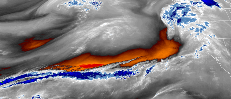
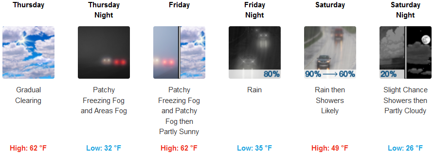
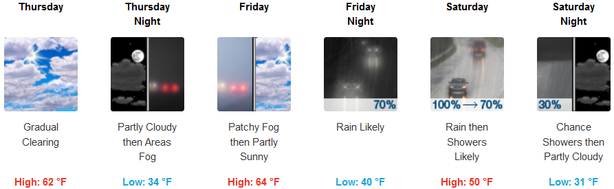
Inland areas are expected to see partly cloudy skies and localized fog into Friday, as clouds increase throughout Friday with rain expected late Friday evening and continuing into early Sunday. Temperatures are forecast to get into the upper 20’s for lows in the higher elevations, with most of the region seeing low temperatures in the mid to upper 30’s, with highs reaching the upper 50’s to low 60’s.
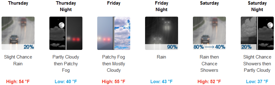
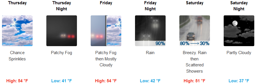
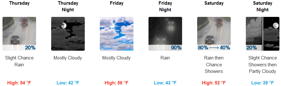
A slight chance of precipitation late Thursday evening should be expected along coastal areas going into the weekend. Friday is forecast to be partly cloudy with a south 8 to 15 mph wind delivering rain Friday evening through Saturday. Temperatures are expected to stay relatively mild along coastal areas, with low temperatures in the mid 40’s, and highs getting to the mid 50’s.
Brookings:
Crescent City:
Gold Beach:
Cave Junction:
Grants Pass:
Medford: