

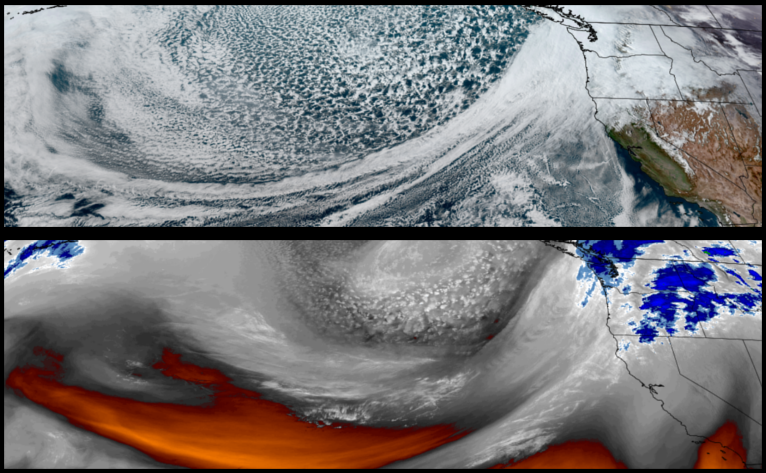
The weather pattern of the last week is forecast to continue as multiple weather systems are circulated into the region through the weekend. A High Wind Warning has been generated by the National Weather Service through Thursday for the southern Oregon Coast.
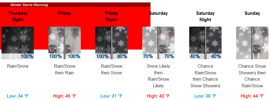
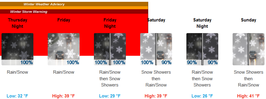
Inland areas are forecast to see rain and possibly snow down to the valley floor through the weekend with wind gusts as high as 28 mph.Low temperatures are expected to drop as low as the upper 20’s to low 30’s with highs only reaching the low to mid 40’s.
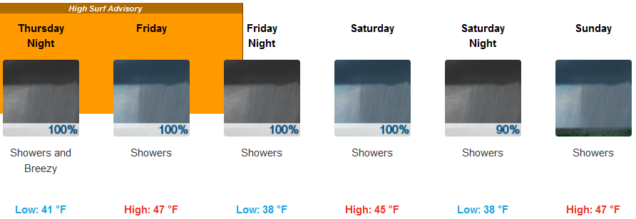
Rain is expected everyday through the weekend along the coast with episodes of gusty winds reaching up to 28 mph. Temperatures along the coast are expected to cool as the weekend progresses with lows in the low 40’s falling to the upper 30’s and afternoon highs reaching the mid 40’s.
Brookings:
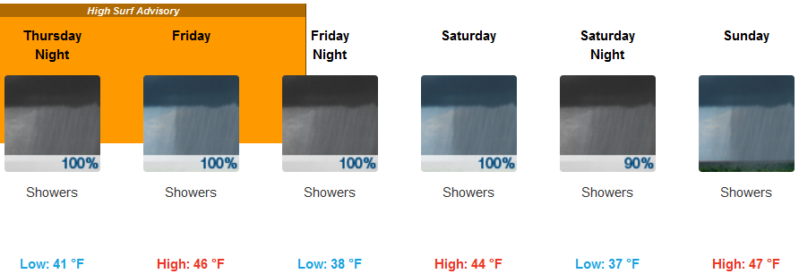
Crescent City:
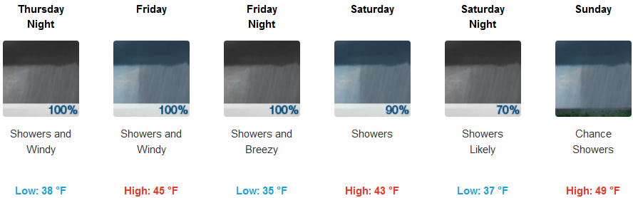
Gold Beach:
Cave Junction:
Grants Pass:
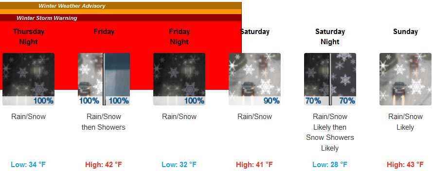
Medford: