

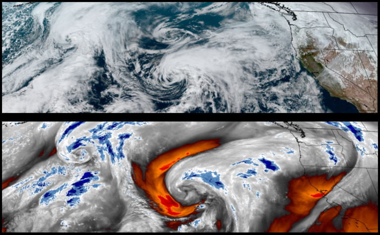
The region has enjoyed a short break from precipitation with partly cloudy skies and mild temperatures. This weather pattern is forecast to continue as unstable air pushed onshore early in the work week as another round of wet weather circulates offshore pushing wet weather into the area beginning midweek.
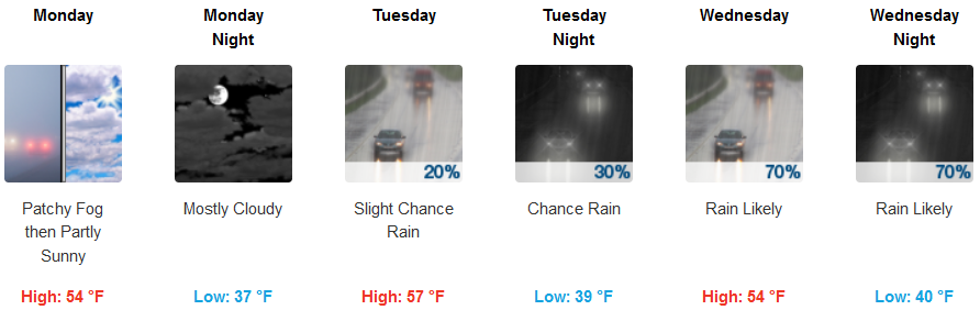
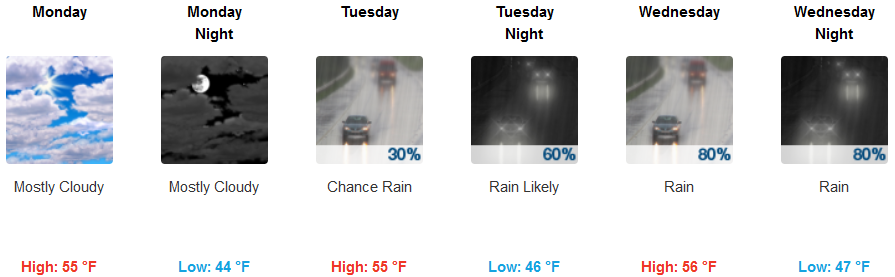
Inland areas are forecast to see early morning dense fog turning to mostly cloudy with a chance of precipitation beginning late Tuesday evening and continuing through midweek. Temperatures are expected to remain cold with early morning lows in the mid to upper 30’s and afternoon highs reaching the low to mid 50’s.
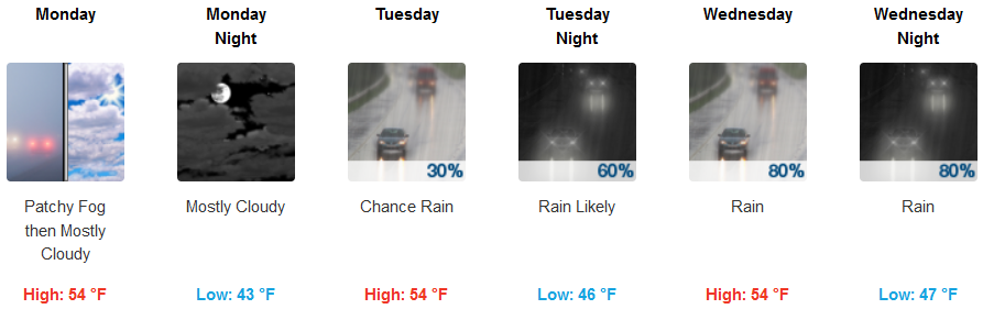
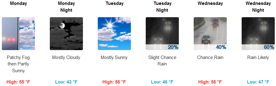
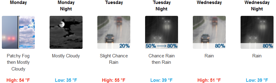
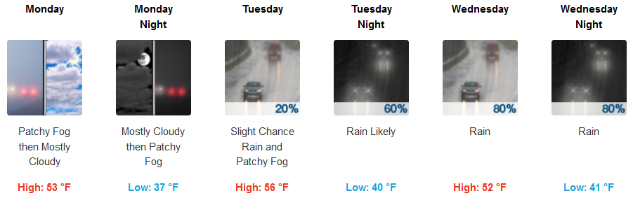
On the coast, early morning fog is expected in the usual places Monday and Tuesday, with chances of rain increasing as the day progresses Tuesday. Temperatures along the coast will see lows in the low 40’s with highs getting into the mid 50’s.
Brookings:
Crescent City:
Gold Beach:
Cave Junction:
Grants Pass:
Medford: