


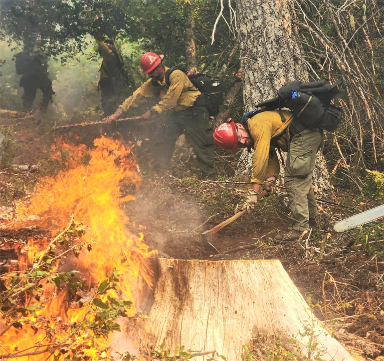
Fire crews continued to take advantage of favorable weather conditions and prepare for an increase in fire activity as late afternoon and evening winds were forecast to arrive with gusts up to 20 mph on the upper elevations. The Smith River Fire Complex continued to grow adding another 8,247 acres since Wednesday and now charring a total of 84,022 acres with 7% containment.
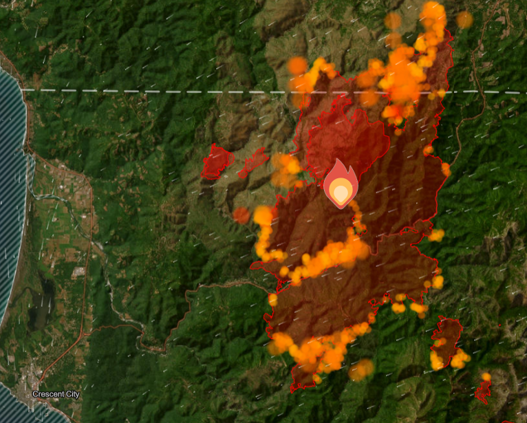
As weather begins to transition as a low pressure system moves into the region, an increase in moisture helped limit overall fire activity and fire crews took advantage working to secure containment lines north of Gasquet, near Pioneer Road, and along Highway 199 in efforts to keep the threat of fire reaching Gasquet.
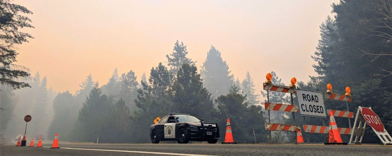
U.S. Hwy. 199 remains closed and the planned limited opening has been cancelled and tentatively postponed due to the continued closure and Level 3 evacuation in O’Brien Oregon while fire crews work to fall hazard trees and work hot areas along Highway 199 to expedite the opening of the critical road system.
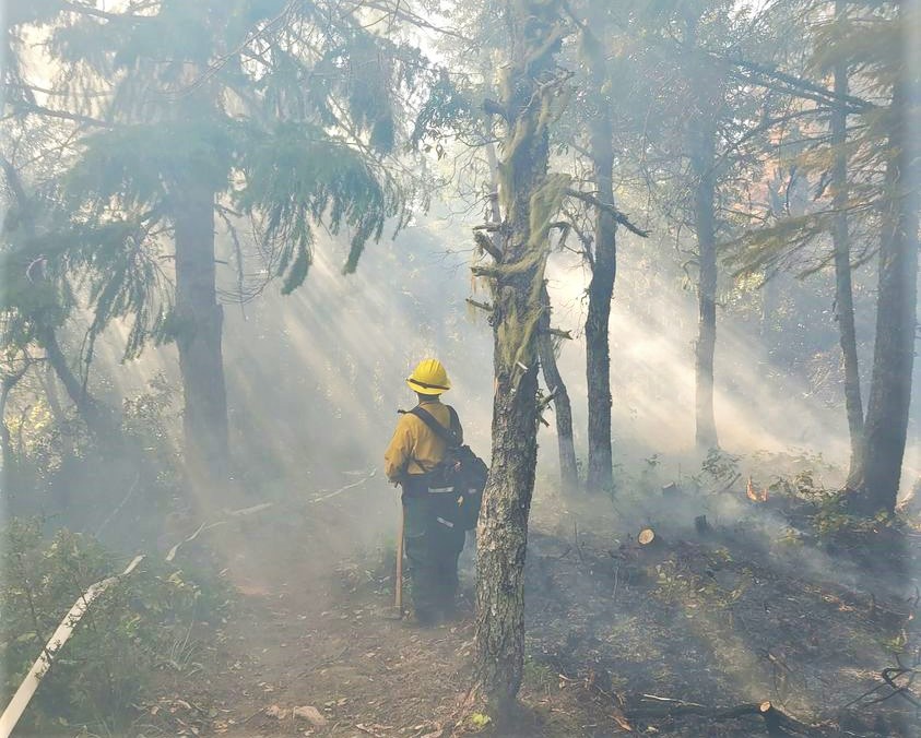
Firefighters were on high alert during critical weather conditions into the evening hours after favorable weather and use of aerial resources provided fire crews across the forest with the opportunity to gain control and containment on several small fires before conditions become more favorable Thursday morning. The potential for light rain increases by Thursday night, along with clouds and onshore flow as an upper-level Pacific Northwest trough enters the area and lingers into Saturday.
Currently assigned resources include 3,035 total personnel, 65 crews, 5 helicopters, 216 engines, and 29 dozers of heavy equipment, and 22 Water Tenders with more resources requested and arriving at the Smith River Complex.
All evacuation orders are issued by the Del Norte County Sheriff’s Office. If you are in the Del Norte County, area please sign up for their Community Alert System
Level 3 “Go Now”: Patrick Creek, Little Jones Creek, Copper Creek Drainage, Coon Creek/ 16n19 17n07, Washington Flat, Pioneer Road, Panther Flat Campground Area, all communities between Slant Bridge Road north to the Oregon Border along Highway 199, French Hill Road.
Level 2 “Be Set”: “Be Set”: Low Divide, High Divide, Rowdy Creek, Big Flat/Rock Creek
Level 1 “Be Ready”: Hiouchi from Slant Bridge to the east end of North Bank Road