

Smoke from the Bootleg fire will continue to degrade air quality east of the Cascades. In addition, smoke from the Jack fire will settle into locations west of the Cascades during the afternoon before clearing out later in the evening hours with the stronger north winds.
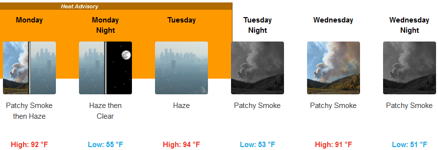
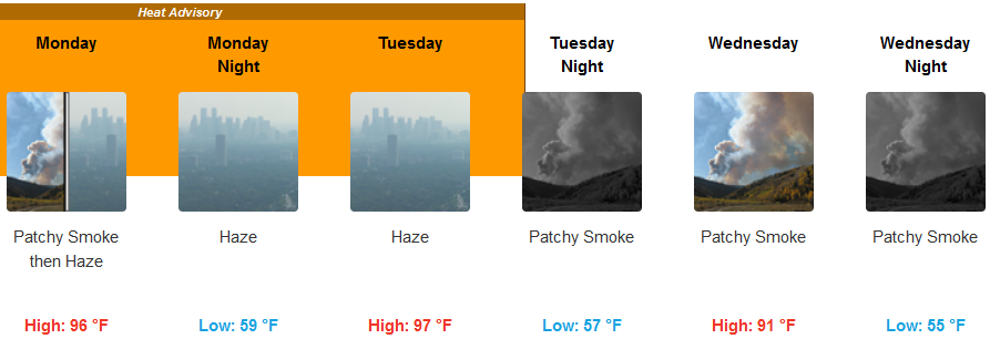
Southern Oregon and northern California will see that the intense heat wave that has claimed the lives of 83 Oregonians according to the Oregon State Police and setting records across the area has peaked for most areas, with a gradual return to more seasonal temperatures by later in the work week.
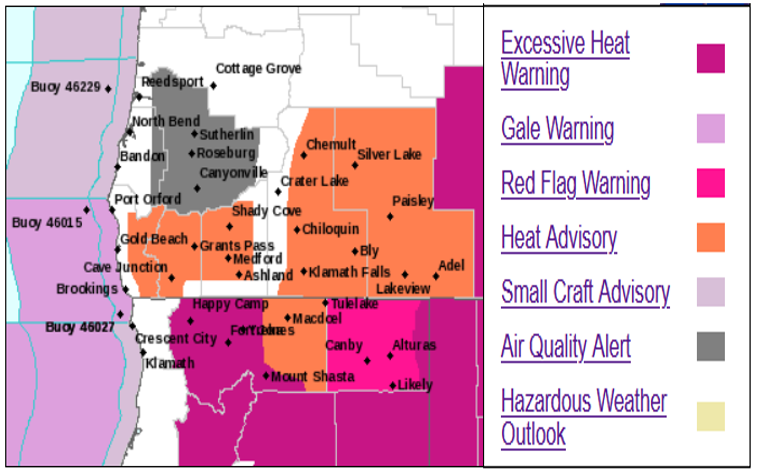
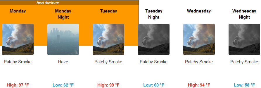
However, excessive heat and red flag warnings remain in effect as northern California and southern Oregon are forecast to experience temperatures well above normal for Monday, as smoke from the now 144,000 acre Bootleg fire northeast of Klamath Falls and the Jack fire in Douglas county will continue to degrade air quality in the area.
Inland expect hazy to smokey skies and high temperatures to continue through mid-week, with a north breeze moving smoke out of the valley starting late Monday night and Tuesday. Temperatures are expected to cool slightly from triple digits as the work week progresses, cooling in the evenings to the upper 50’s.
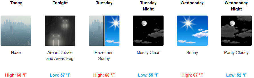
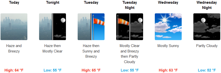
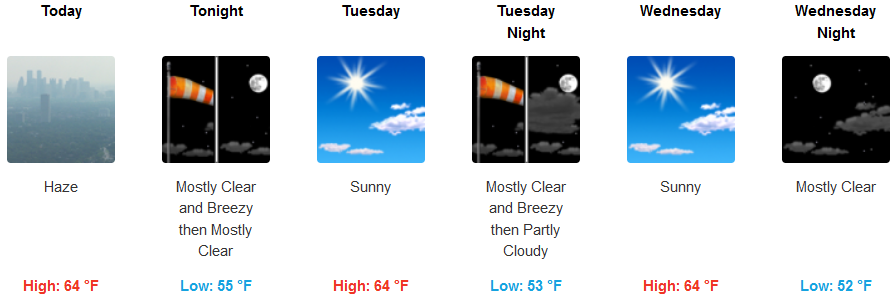
On the coast, some smoke or haze from northern California fires could make its way into the region, but the damp cool mornings will continue to give way to warm sunny afternoons. High temperatures are expected to be in the upper 60’s, with lows in the mornings in the low to mid 50’s.
Brookings:
Crescent City:
Gold Beach:
Cave Junction:
Grants Pass:
Medford: