

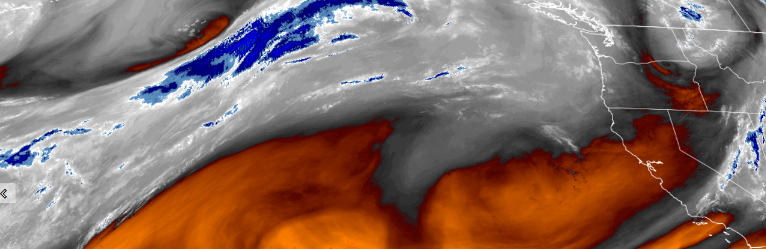
Typical summer conditions are forecast for the rest of the work week as high pressure continues to circulate towards the west coast. However, cooler temperatures are expected to move into the area Sunday, possibly opening the door for more precipitation to end the weekend.
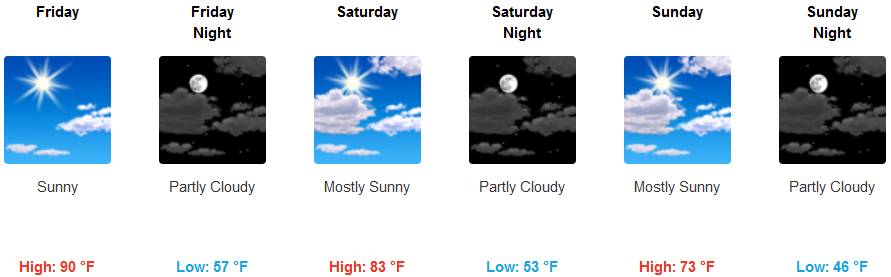
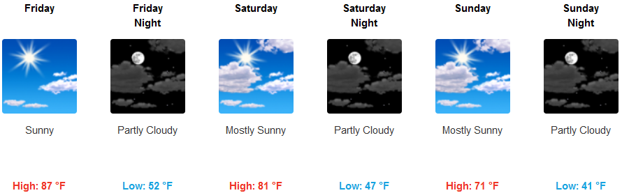
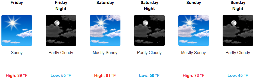
Inland areas are expected to see partly cloudy skies Friday with warm temperatures into the low 90’s. However, conditions are forecast to change as the weekend progresses with temperatures dropping into the low 70’s by Sunday.
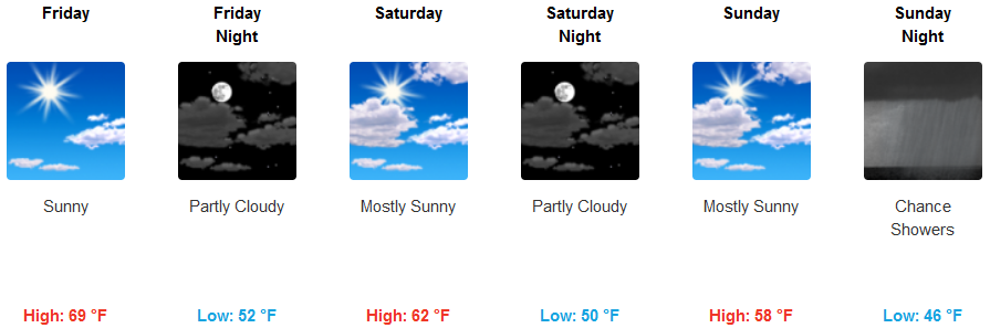
Coastal areas will enjoy sunny skies and warm temperatures in the low 70’s in some locations Friday, with clouds beginning to accumulate late Friday evening and continuing to build up into Sunday. Temperatures will begin to drop Saturday, getting into the low 50’s by Sunday, with a slight chance of rain beginning Sunday evening.
Brookings:
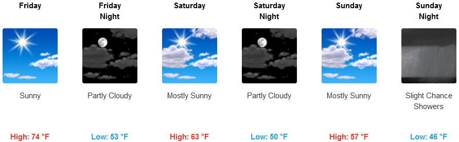
Crescent City:
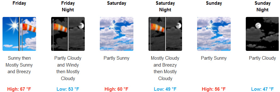
Gold Beach:
Cave Junction:
Grants Pass:
Medford: