

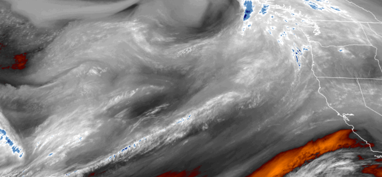
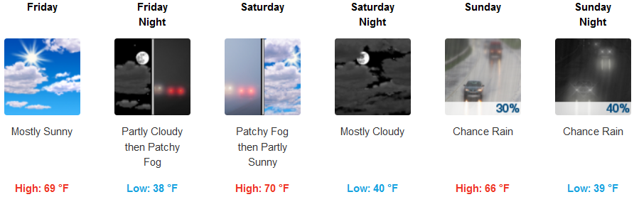
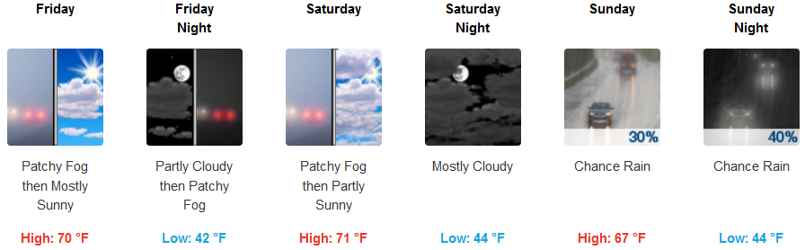
The ridge of high pressure that had been directing weather systems to the north, has weakened allowing the weather pattern to shift further to the south. Mostly sunny skies will slowly change to mostly cloudy as the week end progresses and a weak onshore flow will aid in producing light rain over parts of the region early Saturday into Sunday.
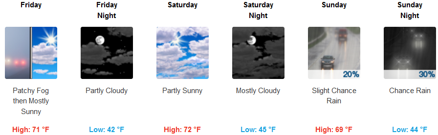
Inland areas will continue to be warm through Friday as clear skies change to high level passing clouds increasing late Saturday with chances of precipitation increasing as the weekend progresses. Temperatures could reach the low 70’s for afternoon highs, with lows in the low 40’s.
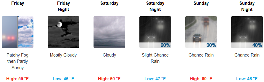
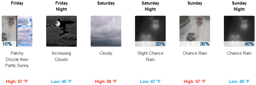
Most areas along the coast will see a persistent morning marine layer in most coastal areas into Saturday as the onshore flow introduces another weather system with chances of precipitation. Low temperatures will be in the low 40’s with afternoon highs getting into the upper 50’s to low 60’s.
Brookings:
Crescent City:
Gold Beach:

Cave Junction:
Grants Pass:
Medford: