

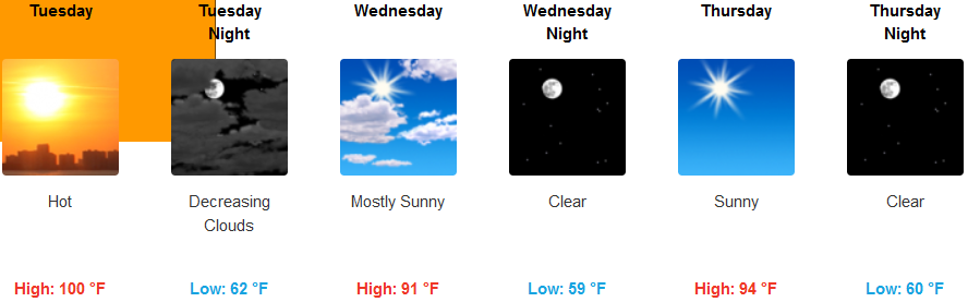
As the high pressure off the coast, that has brought the recent round of high temperatures, slowly moves to east, temperatures will begin to cool slightly. However, temperatures are expected to stay very warm into the middle of the work week.
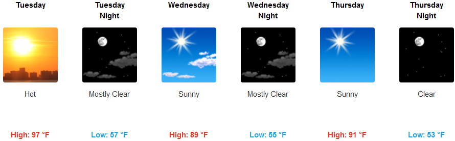
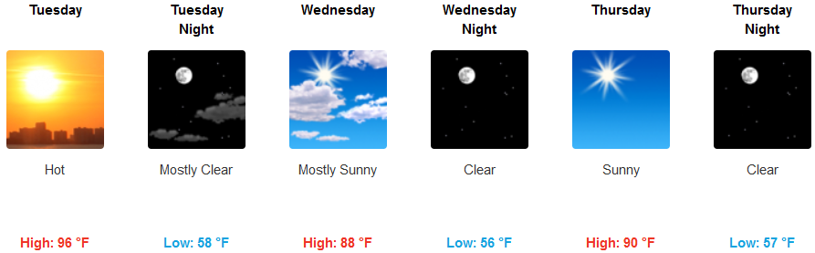
Inland temperatures are expected to be in the triple digits today, Tuesday, before slightly cooling by mid week. Highs in the inland valleys are forecast to reach 100 degrees Tuesday afternoon, as Heat Advisories and Red Flag Warnings have been issued inland by the National Weather Service, dropping to the upper 90’s by mid week.
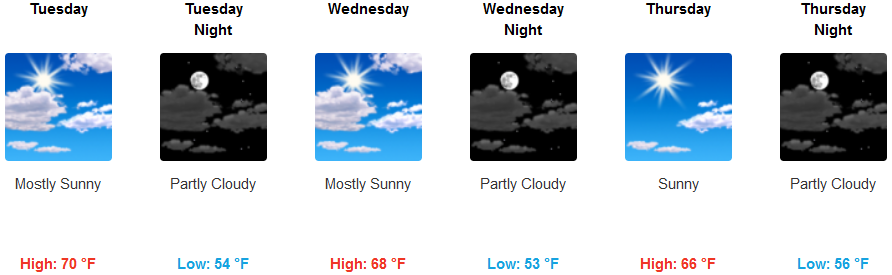
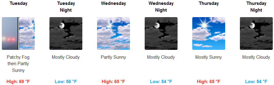
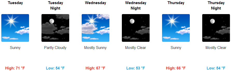
Along the coast weather conditions are not expected to see any significant changes as mostly sunny skies, warm temperatures continue into mid week. Localized marine layer and morning fog will continue with morning lows in the mid 50’s and afternoon highs reaching the low 70’s, cooling to the upper 60’s for highs by mid week.
Brookings:
Crescent City:
Gold Beach:
Cave Junction:
Grants Pass:
Medford: