

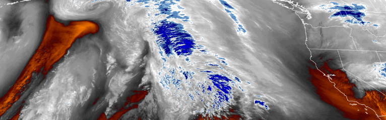
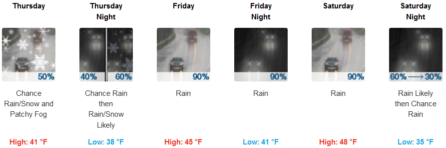
The winter weather system that passed over the region Tuesday and Wednesday has moved east followed by unsettled weather circulating through the region with localized precipitation as another strong winter storm is forecast to impact the area Friday and into Saturday.
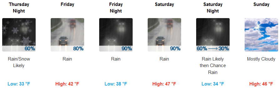
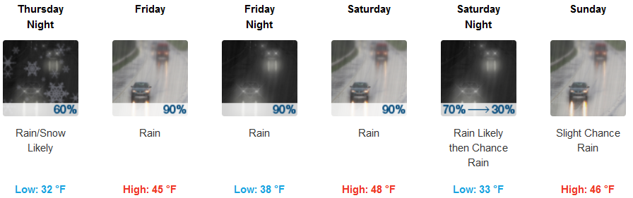
Inland areas are expected to continue to experience waves of precipitation and cold temperatures with chances of snow Thursday and into late Friday as the next significant weather system moves into the region bringing more rain with warmer temperatures and high snow elevations. Low temperatures will be in the upper 20’s to low 30’s through Thursday before lows get into the mid to upper 30’s Friday and Saturday.
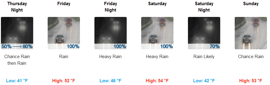
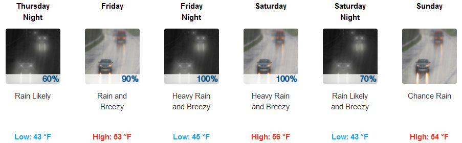
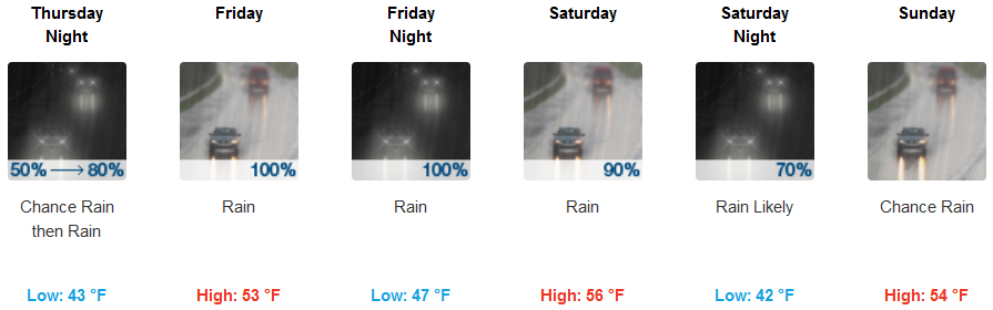
Along the coast waves of precipitation are forecast to continue as a new strong weather system approaches the coast before rain moves in Friday continuing through the weekend. Low temperatures are expected to remain in the low 30’s Thursday before warming slightly as the new system moves in. Lows in the low to mid 40’s with highs in the mid 50’s.
Brookings:
Crescent City:
Gold Beach:
Cave Junction:
Grants Pass:
Medford: