

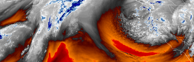
Cold air following the previous wet weather system circulating over the Pacific Northwest is expected to produce precipitation and low level snow through the first part of the work week with the heaviest precipitation pushing into central and northern California Tuesday.
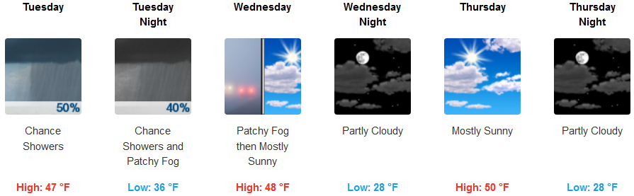
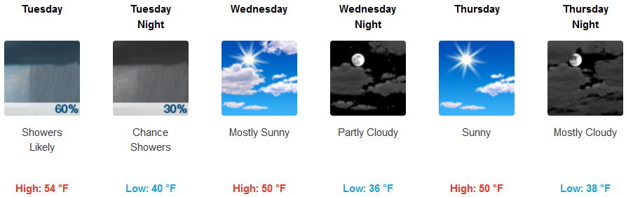
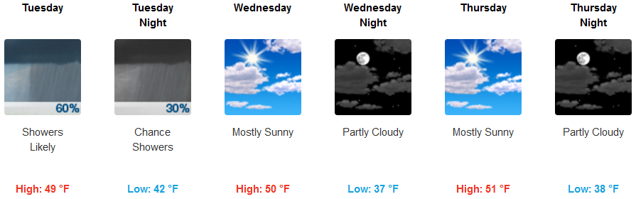
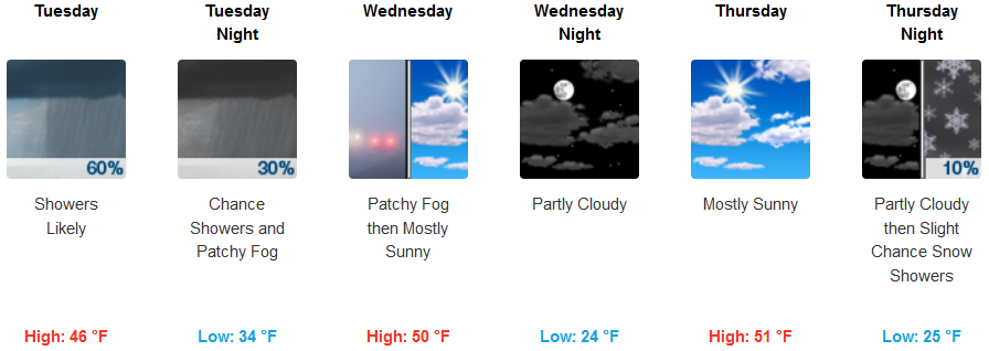
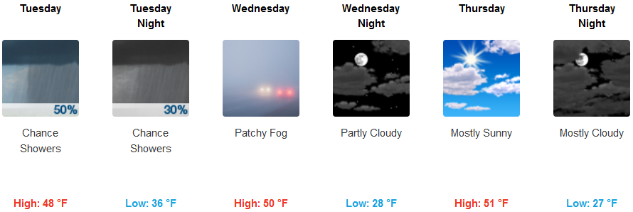
Winter weather is expected to continue through Tuesday inland with localized precipitation and possible snow in some inland valleys and peaks. Moderate to heavy snowfall is expected through Tuesday night across northern California and southern Oregon passes. Early morning lows are expected to fall into the upper 20’s under partly cloudy skies Wednesday and Thursday, with afternoon highs only reaching the low to mid 50’s.
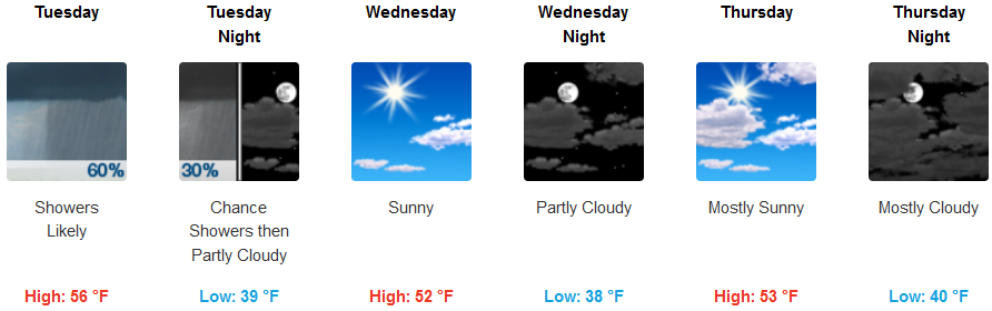
Coastal areas are forecast to see significant chances for precipitation and localized showers into Tuesday afternoon, tapering off as the evening progresses. Wednesday is expected to be mostly sunny, afternoon highs in the low 50’s and cold early morning temperatures dropping into the mid to upper 30’s.
Brookings:
Crescent City:
Gold Beach:
Cave Junction:
Grants Pass:
Medford: