

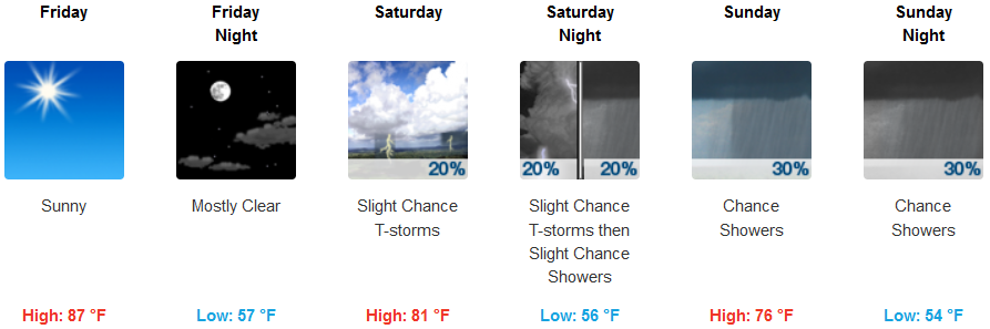
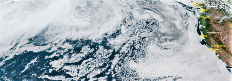
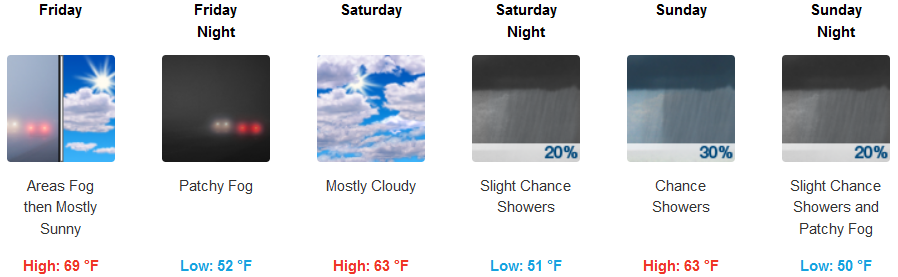
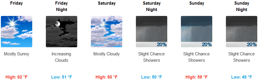
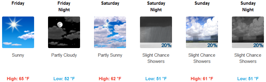
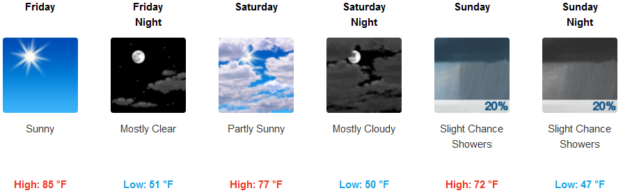
A large upper level trough of low pressure is forecast to begin moving into the forecast area late in the weekend, lowering temperatures and bringing the possibility of showers, and a slight chance for thunderstorms this holiday weekend.
This area of low pressure is expected to move begin moving onshore late Saturday and Sunday, dropping 4th of July temperatures as low as 10-20 degrees below normal with some cooling expected each day through Monday with some of the higher elevations struggling to get out of the 50’s.
The approaching unstable air mass is forecast to bring slight chances for localized showers and thunderstorms in the afternoons and evenings with occasional lightning strikes and gusty winds starting Sunday. Temperatures are expected to be mild across the region, with highs in the mid 80’s in the valley dropping to the mid 70’s by Sunday and into Monday. Coastal regions will see high temperatures in the upper 60’s late in the work week, dropping to the upper 50’s into Monday.
Brookings:
Crescent City:
Gold Beach:
Cave Junction:
Grants Pass:

Medford: