

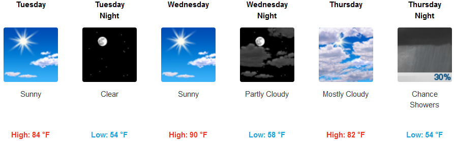
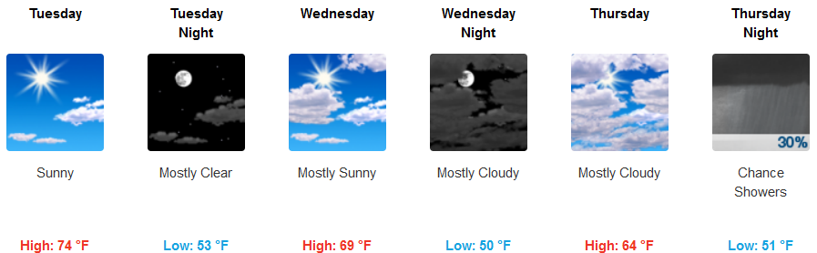
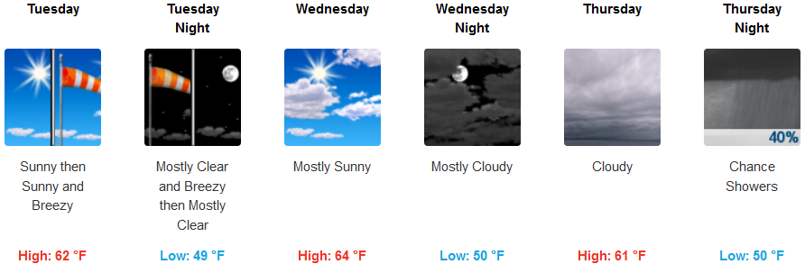
Dry conditions and above normal temperatures are expected through Wednesday across much of the region away from the immediate coast through much of the work week, before the next chance for precipitation enters as the week progresses.
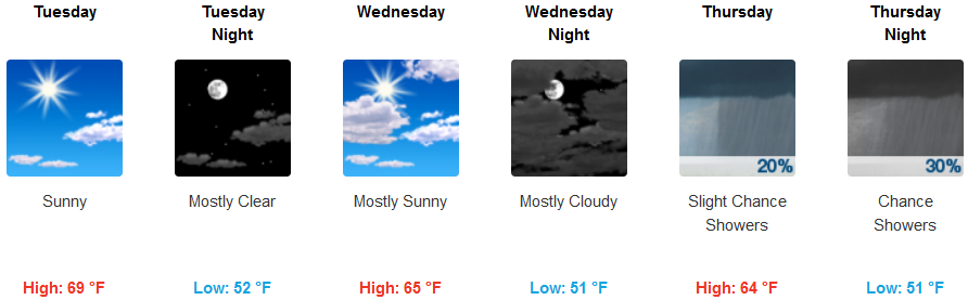
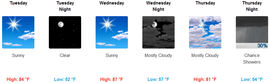
High temperatures along coastal areas can expect warm afternoon temperatures possibly reaching the mid 70’s in some locations remaining mostly clear with sunny skies before clouds begin to move into the area cooling high temperatures to the mid to low 60’s by mid-week. Inland locations can see afternoon highs in the mid 90’s by mid-week, with increased cloudiness late Wednesday.
Brookings:
Crescent City:
Gold Beach:
Cave Junction:

Grants Pass:
Medford: