

A mid/upper level ridge of high pressure that has been causing
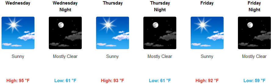
widespread record heat is expected to continue to gradually ease in southern Oregon and northern California bringing temperatures closer to normal by Thursday.
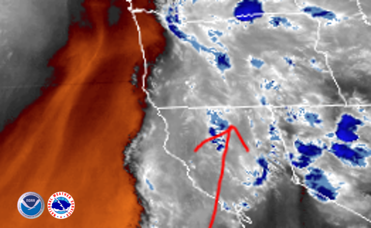
Unstable weather pushing up from the south will continue to bring the threat of thunderstorms, dry lighning, gusty winds and increased fire danger before easing into Thursday.
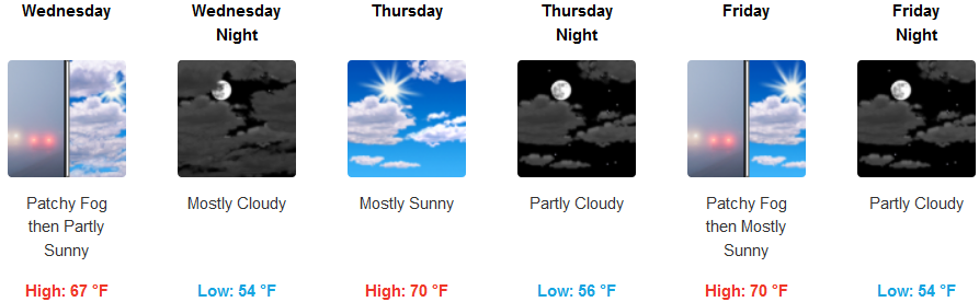
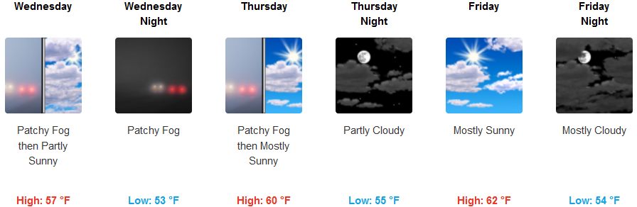
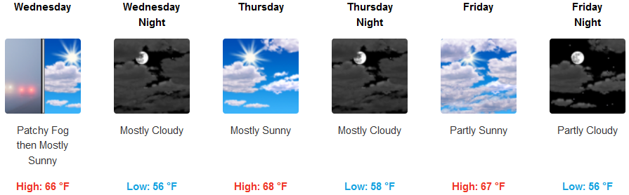
The coast will continue to see patchy morning fog, partly cloudy skies and a calm afternoon wind with moderate temperatures from the mid 60’s to low 70’s in most areas.
Brookings:
Crescent City:
Gold Beach:
Cave Junction:
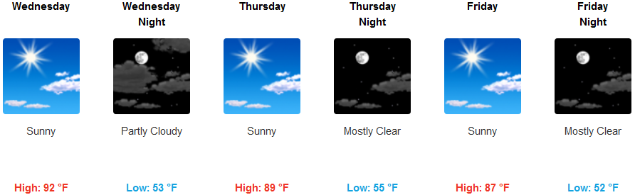
Grants Pass:
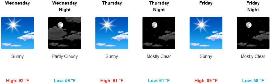
Medford: