

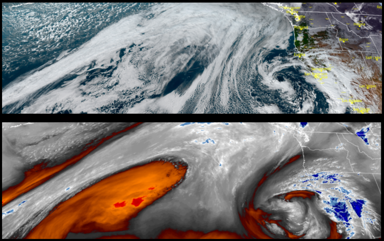
The large high pressure system responsible for circulating the unstable weather into the area for the past few days has now slowly shifted to the south and east creating a drier weather pattern through Thursday before a chance of light rain is expected Friday as a quick moving cold front moves through Friday and Saturday.
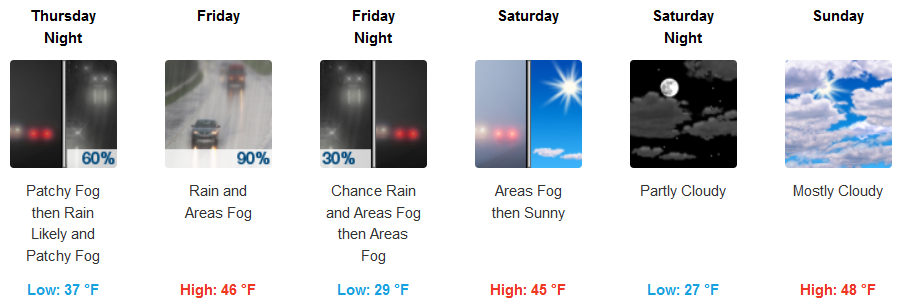
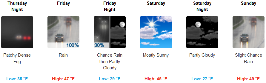
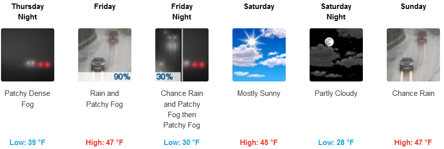
Inland areas are expected to wake up to dense localized fog under mostly clear skies Thursday morning, before afternoon skies become mostly cloudy as a cold front begins to move into the area. Rain is expected Friday afternoon with skies clearing Saturday. Morning lows will be in the low 30’s to upper 20’s with highs in the low 50’s.
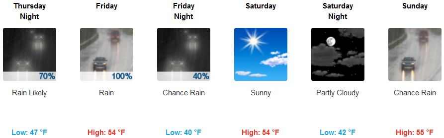
Coastal areas are also forecast to have dense localized fog in the morning, as a cold front begins to move onshore. Rain is expected late Thursday evening through late Friday. Saturday is expected to be a short break before another weather system moves in Sunday evening. Lows along the coast will be in the upper 40’s with afternoon highs in the mid 50’s.
Brookings:
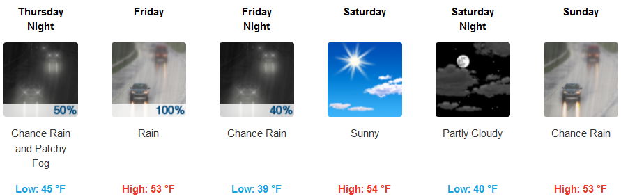
Crescent City:
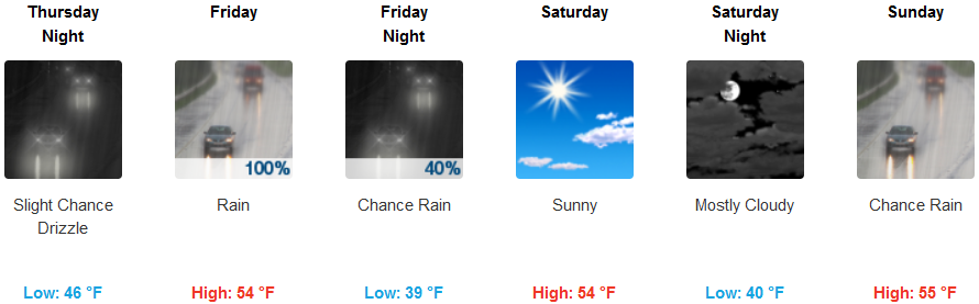
Gold Beach:
Cave Junction:
Grants Pass:
Medford: