

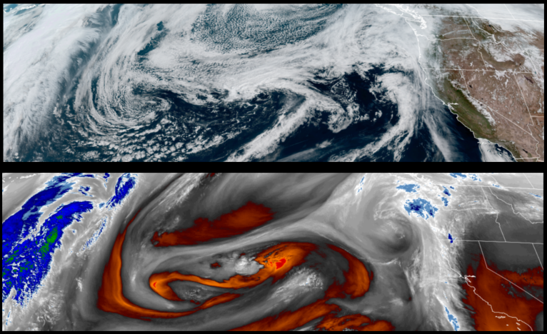
The trough of high pressure responsible for the mild spring like weather we’ve enjoyed these past few days has moved off the east and an unsettled weather pattern is forecast for the remainder of the work week with the possibility of showers into the weekend.
Inland, partly cloudy to mostly cloudy skies are forecast through Thursday, with a significant chance of rain developing Friday and continuing through the weekend. Temperatures will remain warm through Thursday in the upper 60’s before dropping to the low mid 50’s for highs through the weekend.
Along the coast, showers could start as early as Thursday morning before unsettled weather moves into the area bringing possible thunderstorms and rain Friday with precipitation forecast to continue through the weekend. Temperatures are expected to stay in the upper 50’s before dropping to the low 50’s for highs.
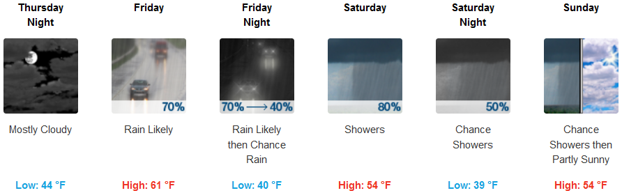
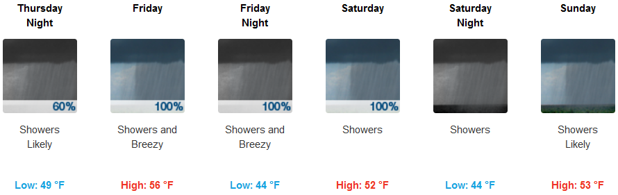
Brookings:
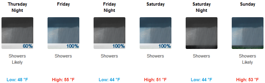
Crescent City:
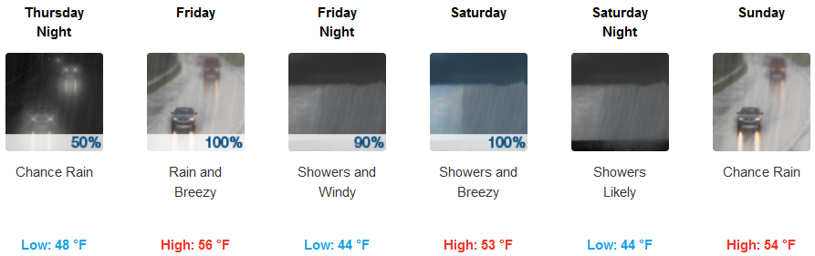
Gold Beach:
Cave Junction:
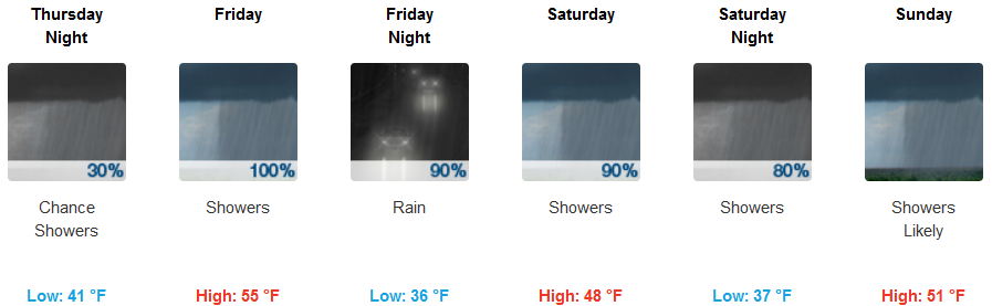
Grants Pass:
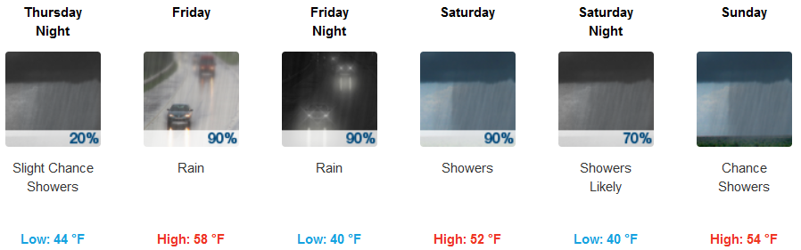
Medford: