


A winter storm warning is in effect for southern Oregon and northern California coastal areas until 10:00am Saturday morning as storm systems yielding rain, thunderstorms, hail, and gusty winds.
Two fronts will move through late Thursday through early Friday morning, and again Friday evening. Snow levels will lower sharply behind the first front Friday morning, lowering from 4500 feet to 1500 feet by early Friday morning. Accumulating snow will be most likely above 2,500 feet.
Brookings: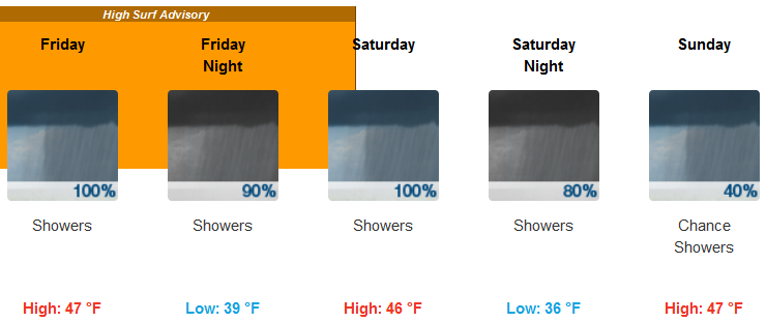
Medford:
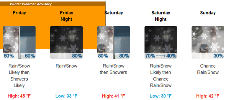
Expect travel difficulties to resume for the major passes along I-5, although overall snow amounts are expected to be less than what occurred Tuesday night. Impacts will continue through the weekend as active weather continues.
Snow levels will be low enough to affect all area passes, and possibly even west side valley floors at times this weekend. Be sure to check road conditions and the forecast before venturing out! If you must travel during this time, be sure to carry an emergency travel kit with you.
A High Surf Advisory remains in effect from 4:00 am Friday to 10:00 am Saturday morning.
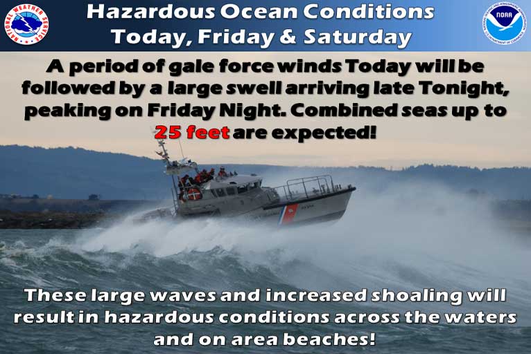
- Waves and Surf…Heavy northwest swell will bring high surf to the southern Oregon beaches. Average breaker heights will increase to 25 feet late tonight and peak at 27 feet Friday.
- Timing…Surf will build late tonight, peak Friday, then slowly subside Friday night into Saturday morning.
- Impacts…A High Surf Advisory means that high surf will affect beaches in the advisory area, producing rip currents and localized beach erosion. Stay away from piers and jetties, which may be inundated by the high surf. Sneaker waves are also a possibility.
Please Like, Share and Follow the …
![]()