

A late summer cold front is forecast to move through the area starting early Friday and continuing into the weekend. This system, will continue to lower humidity levels and bringing with it cooler temperatures and gusty winds in some areas.
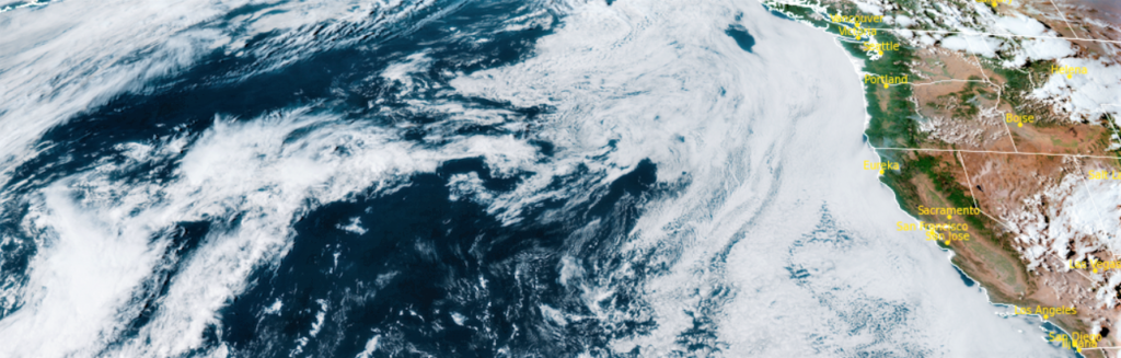
The upper level low and cold front will move through the Pacific Northwest this weekend, and though it appears to be a primarily dry system, there is a 20% chance of light rain to the coast, inland valley’s as well as the Cascades as the system pushes ashore.
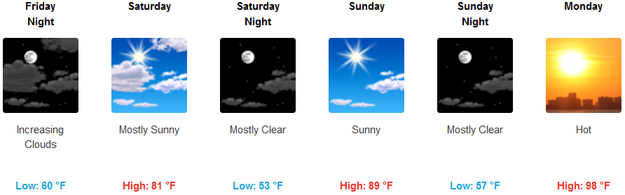
For most of the area, however, this front will bring temperatures reminiscent of fall. These temperatures will only last for the weekend before temperatures heat back up going into the next work week. Inland areas can expect partly cloudy skies with high temperatures in the low 80’s going into the weekend, with temperatures rising to the upper 90’s as we move into next week.
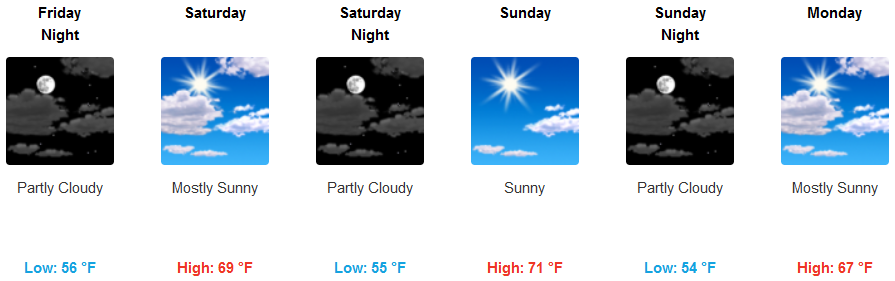
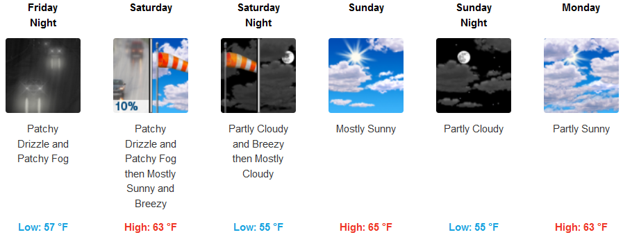
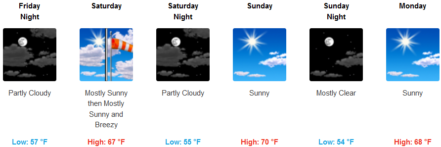
Along the coast, a small chance of isolated showers exist from late Friday into early Saturday as early morning high clouds and a marine layer keep temperatures in the high 60’s for highs, warming to the low to mid 70’s to start the work week.
Brookings:
Crescent City:
Gold Beach:
Cave Junction:
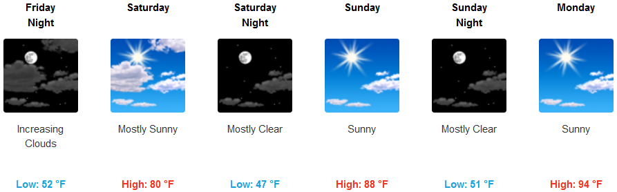
Grants Pass:
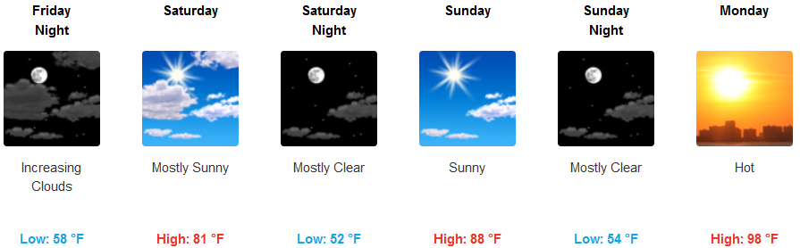
Medford: