


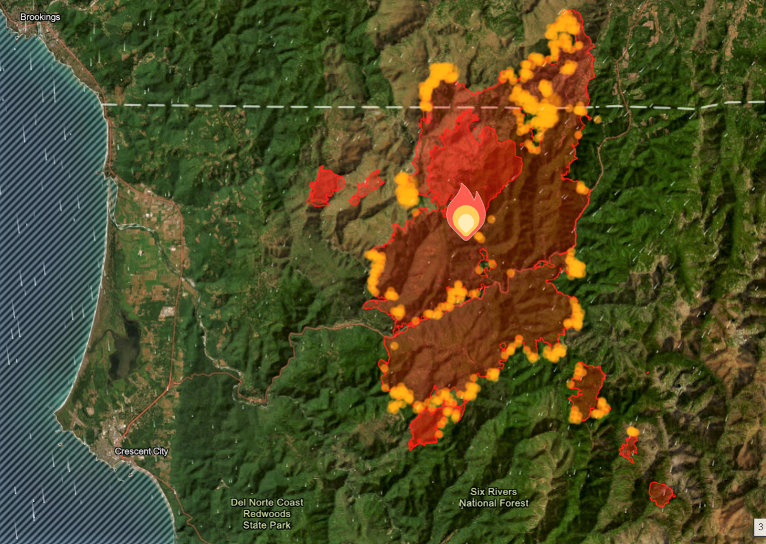
Early seasonal rain, light winds and hard work have slowed the fires advancement with the Smith River Fire Complex now covering 84,022 acres and now 8% containment.
First thing Thursday morning, Southwest Area Incident Management Team 2 transferred leadership on the Smith River Fire Complex, South Zone at 7:00am before reviewing the strategic response and protection plan in place for the fire to execute a seamlessly transition of operations.
Control burn operations continue during both day and night shifts with aviation support and favorable winds during favorable weather. winds at upper elevations were strong yesterday. These winds were accompanied by drier air which caused ridgetop relative humidity values to drop down to around 25%.
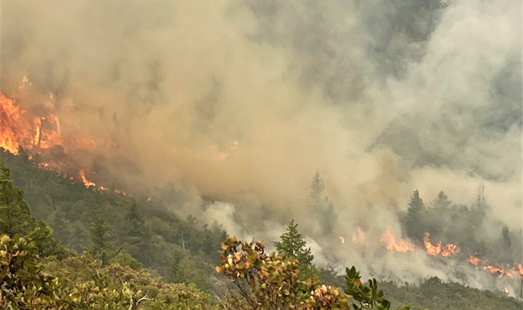
Firefighters worked hard to secure the east side of the 405 road utilizing air tankers and helicopters. Resources were well staffed on all the control lines around Gasquet and continued to patrol and secure any hot area that could potentially threaten containment and property.
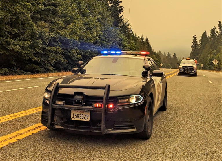
The California Highway Patrol advised that US Hwy.199 will open at 4:00am Friday, to Commercial Vehicles ONLY. They will be piloted through from Patrick’s Creek to Oregon Mountain Road South and the reverse for southbound traffic There is a current closure at Pioneer road which is only passable for residents on Level 2.
Fire officials lowered evacuation levels in Gasquet Thursday, from Pioneer Road, south to Slant Bridge Road, to level 2 with repopulation of the Gasquet community starting Thursday, August 31st, at 12:00 Noon. All evacuation orders are issued by the Del Norte County Sheriff’s Office. If you are in the Del Norte County, area please sign up for their Community Alert System
Level 3 “Go Now”:Evacuation remains in place for the Hwy 199 area south of O’Brien from milepost 38 to the state line. Patrick Creek, Little Jones Creek, Copper Creek Drainage, Coon Creek/ 16n19 17n07, Washington Flat, Pioneer Road, Panther Flat Campground Area, all communities between Pioneer Road north to the Oregon Border along Highway 199, French Hill Road.
Level 2 “Be Set”: Evacuation is in place for O’Brien and the Takilma area, Gasquet, Low Divide, High Divide, Rowdy Creek, Big Flat/Rock Creek
Level 1 “Be Ready”: Evacuation is in place north to Cave Junction, and Hiouchi from Slant Bridge to the east end of North Bank Road