

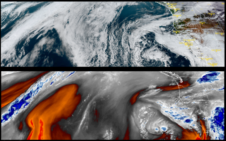
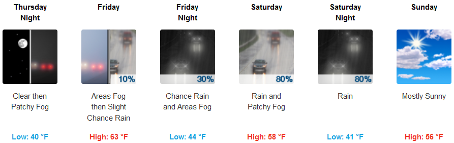
The low pressure system off the west coast that circulated the wet weather of the past few days will continue to spin off the coast generating a cool unsettled weather pattern for the rest of the week, bringing scattered showers and possibly localized thunderstorms.
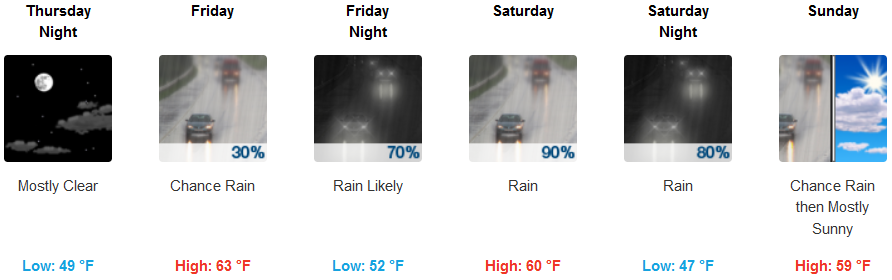
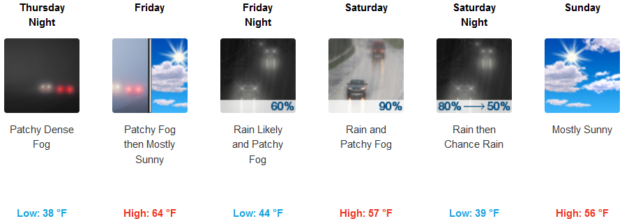
Inland, patchy localized areas of dense fog in the morning, with showers and rain later in the week with chances of precipitation increasing as the week progresses. Temperatures will be in the low 40’s for lows with afternoon highs getting to upper 50’s to low 60’s.
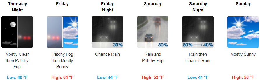
Areas along the Coast will see partly cloudy skies with chances of precipitation increasing as the low pressure system circulates wet weather onshore later in the week. Temperatures will remain relatively mild with early morning lows in the upper 40’s to low 50’s and afternoon highs reach the upper 50’s to mid 60’s.
Brookings:

Crescent City:
Gold Beach:

Cave Junction:
Grants Pass:
Medford: