

Beginning early Thursday morning, a strong front will bring gusty winds through at least Thursday afternoon and a High Wind Warning has been put in place by the National Weather Service for the coast from Bandon south to Gold Beach.
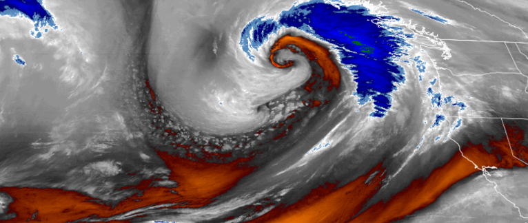
A short lived atmospheric river has developed and is forecast to bring steady rain across much of southern Oregon and northern California throughout the weekend.
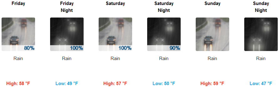
Precipitation is expected to begin early Thursday morning, lasting through Friday morning significant accumulations from extended periods of rain, the increased runoff will affect burn scars and create quick rises in creeks, streams, and washes.
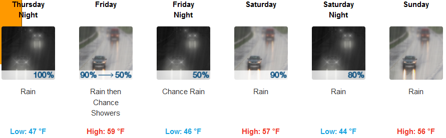
Inland a Wind Advisory is in effect across much of the southern Oregon valley, lasting from 8:00am Thursday morning, until 8:00am Friday morning. Precipitation is expected to begin before noon, before chances decrease early Friday and then dominate the remainder of the weekend. High temperatures are forecast to cool slightly to the high 50’s while lows remain in the mid 40’s.
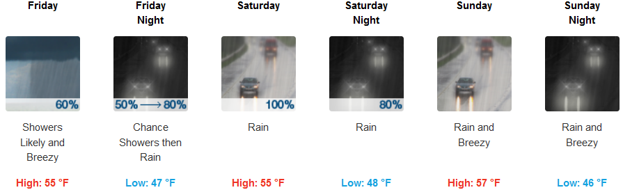
Coastal areas are also under a High Wind Warning beginning at 8:00am Thursday morning until 5:00pm Thursday evening. Precipitation along coastal areas is expected to begin Thursday morning increasing to steady rain later in the day. Friday will see another cooler system bring unsettled weather into the area with the possibility of localized thunderstorms. Rain is expected to continue throughout the weekend, with high temperatures in the low 50’s and lows in the upper 40’s.
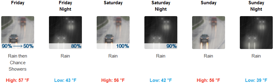
Brookings:

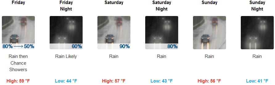
Crescent City:
Gold Beach:
Cave Junction:
Grants Pass:
Medford: